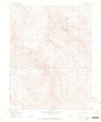
1954 Map of Iris NW
USGS Topo · Published 1973About this map
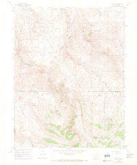
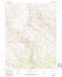
Gold Basin Creek and South Beaver Creek define the drainage patterns of this high-altitude landscape south of Gunnison, captured during a 1954 field check with aerial updates through 1970. The terrain is characterized by a network of drainage features like Long Gulch, Stubbs Gulch, and Chance Gulch, which carve through the high country. A significant administrative boundary, the New Mexico Principal Meridian, runs vertically through the eastern portion of the survey, while the county line for Gunnison Co and Saguache Co crosses the central area. Human activity in this remote region is indicated primarily by a sparse network of Jeep Trails and a solitary Landing Field situated near the eastern edge, reflecting a period when access to these high basins relied on rugged utility vehicles and light aircraft rather than developed roads.
Find a feature on this map
14 named features on this map. Tap any name to fly to it.
Don’t see what you’re looking for? This feature index may not catch every label — zoom into the map to look around manually.
Map Details
Editions of this 1954 Iris NW Map
7 editions found
Other maps of this area

1908 · Uncompahgre
USGS Topo · 1:125,000

1911 · Uncompahgre
USGS Topo · 1:125,000

1954 · Iris NW
USGS Topo · 1:24,000

1954 · Iola
USGS Topo · 1:24,000

1954 · Mc Intosh Mountain
USGS Topo · 1:24,000

1954 · Gunnison
USGS Topo · 1:24,000

1956 · Montrose
USGS Topo · 1:250,000

1959 · Montrose
USGS Topo · 1:250,000

1960 · Montrose
USGS Topo · 1:250,000

1962 · Iris
USGS Topo · 1:24,000