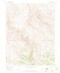
1954 Map of Iris NW
USGS Topo · Published 1973About this map
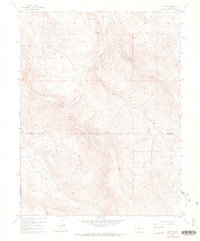
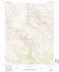
The high-country drainages of Gunnison and Saguache Counties are documented here in the mid-1950s, revealing a landscape defined by its intricate system of creeks and gulches. The survey captures the remote character of the Colorado Rockies along the New Mexico Principal Meridian, where travel was often limited to a simple Jeep Trail winding through the terrain.
Find a feature on this map
10 named features on this map. Tap any name to fly to it.
Don’t see what you’re looking for? This feature index may not catch every label — zoom into the map to look around manually.
Map Details
Editions of this 1954 Iris NW Map
7 editions found
Other maps of this area

1908 · Uncompahgre
USGS Topo · 1:125,000

1911 · Uncompahgre
USGS Topo · 1:125,000

1954 · Iris NW
USGS Topo · 1:24,000

1954 · Iola
USGS Topo · 1:24,000

1954 · Mc Intosh Mountain
USGS Topo · 1:24,000

1954 · Gunnison
USGS Topo · 1:24,000

1956 · Montrose
USGS Topo · 1:250,000

1959 · Montrose
USGS Topo · 1:250,000

1960 · Montrose
USGS Topo · 1:250,000

1962 · Iris
USGS Topo · 1:24,000