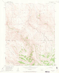
1954 Map of Iris NW
USGS Topo · Published 1963About this map
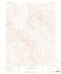
South Beaver Creek and its many tributaries carve through the high country of the Gunnison and Saguache county border in this mid-century topographic study. The landscape is defined by a network of drainage systems, including Gold Basin Creek, Long Gulch, and Stubbs Gulch, which illustrate the complex watershed of the region. A notable human element in this remote terrain is the Landing Field (Emergency) situated near the eastern boundary, providing a critical waypoint for aviators navigating the mountain ranges. While the margin notes that all mining features on this map are inactive, the underlying grid of the New Mexico Principal Meridian and numerous Jeep Trails suggest a history of exploration and land management. The presence of several isolated Spring labels and the course of Sugar Creek further define the local hydrology, marking vital water sources for the cattle ranching or mineral prospecting that once moved through these valleys.
Find a feature on this map
11 named features on this map. Tap any name to fly to it.
Don’t see what you’re looking for? This feature index may not catch every label — zoom into the map to look around manually.
Map Details
Editions of this 1954 Iris NW Map
7 editions found
Other maps of this area

1908 · Uncompahgre
USGS Topo · 1:125,000

1911 · Uncompahgre
USGS Topo · 1:125,000

1954 · Iris NW
USGS Topo · 1:24,000

1954 · Iola
USGS Topo · 1:24,000

1954 · Mc Intosh Mountain
USGS Topo · 1:24,000

1954 · Gunnison
USGS Topo · 1:24,000

1956 · Montrose
USGS Topo · 1:250,000

1959 · Montrose
USGS Topo · 1:250,000

1960 · Montrose
USGS Topo · 1:250,000

1962 · Iris
USGS Topo · 1:24,000