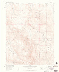
1954 Map of Iris NW
USGS Topo · Published 1963About this map
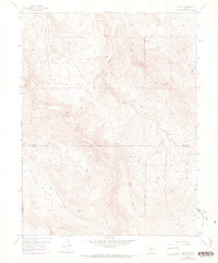
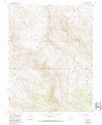
Gold Basin Creek and South Beaver Creek carve through this high-altitude landscape along the border of Gunnison and Saguache counties. Surveyed in the mid-1950s, the map reveals a remote terrain defined more by its natural drainage and surveyor lines than by human settlement. The New Mexico Principal Meridian bisects the eastern portion of the sheet, serving as a critical baseline for Western land division.
Find a feature on this map
10 named features on this map. Tap any name to fly to it.
Don’t see what you’re looking for? This feature index may not catch every label — zoom into the map to look around manually.
Map Details
Editions of this 1954 Iris NW Map
7 editions found
Other maps of this area

1908 · Uncompahgre
USGS Topo · 1:125,000

1911 · Uncompahgre
USGS Topo · 1:125,000

1954 · Iris NW
USGS Topo · 1:24,000

1954 · Iola
USGS Topo · 1:24,000

1954 · Mc Intosh Mountain
USGS Topo · 1:24,000

1954 · Gunnison
USGS Topo · 1:24,000

1956 · Montrose
USGS Topo · 1:250,000

1959 · Montrose
USGS Topo · 1:250,000

1960 · Montrose
USGS Topo · 1:250,000

1962 · Iris
USGS Topo · 1:24,000