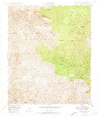
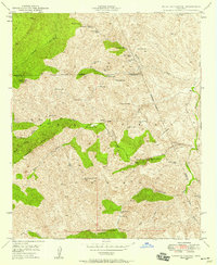
1948 Map of Iron Mountain
USGS Topo · Published 1973About this map
Iron Mountain rises above a landscape defined by cattle ranching and deep canyons in the Tonto and Crook National Forests. This late 1940s topography captures the remote outposts of the Arizona backcountry, featuring the Reevis Ranch and the J F Ranch alongside the Maverick Camp. Evidence of early industrial and pioneer life is visible at the Rogers Troughs (Old Mill) and the lone Reevis Grave north of the peak.
Find a feature on this map
40 named features on this map. Tap any name to fly to it.
Don’t see what you’re looking for? This feature index may not catch every label — zoom into the map to look around manually.
Map Details
Editions of this 1948 Iron Mountain Map
5 editions found
Other maps of this area

1900 · Florence
USGS Topo · 1:125,000

1902 · Florence
USGS Topo · 1:125,000

1907 · Roosevelt
USGS Topo · 1:125,000

1909 · Four Peaks
USGS Topo · 1:125,000

1912 · Roosevelt
USGS Topo · 1:125,000

1948 · Superior
USGS Topo · 1:62,500

1948 · Superior
USGS Topo · 1:24,000

1948 · Iron Mountain
USGS Topo · 1:24,000
1948 · Haunted Canyon
USGS Topo · 1:24,000

1948 · Picketpost Mtn
USGS Topo · 1:24,000