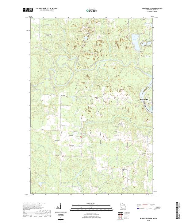
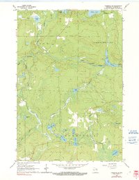
2022 Map of Iron Mountain SW
USGS Topo · Published 2022About this map
The Pine River and Little Popple River carve through this section of the Wisconsin-Michigan border, defining a landscape dominated by glacial lakes and timbered tracts. The area is anchored by the Aurora Cem in the southern reaches and the edge of Kingsford to the east. Local history is etched into the road network, with family-named routes like Knutson Rd, Westman Rd, and Swanson Rd serving as a record of early land ownership and rural settlement patterns.
Find a feature on this map
70 named features on this map. Tap any name to fly to it.
Don’t see what you’re looking for? This feature index may not catch every label — zoom into the map to look around manually.
Map Details
Editions of this 2022 Iron Mountain SW Map
This is the sole edition of this map. No revisions or reprints were ever made.
Historical Maps of Florence Through Time
16 maps found
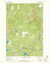
1947 Stager
Florence County, WI
1949 Commonwealth
Florence County, WI
1962 Florence East
Florence County, WI
1962 Florence SE
Florence County, WI
1962 Florence SW
Florence County, WI
1962 Florence West
Florence County, WI
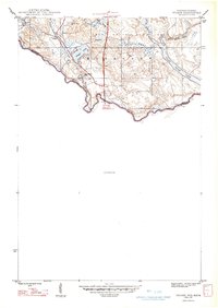
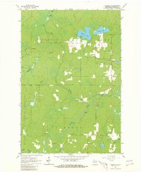
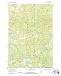
1962 Iron Mountain SW
Florence County, WI
1970 Long Lake NE
Florence County, WI
1970 Long Lake SE
Florence County, WI
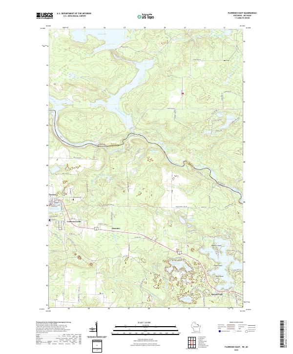
2022 Florence East
Florence County, WI
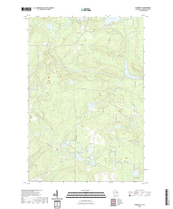
2022 Florence SE
Florence County, WI
2022 Florence SW
Florence County, WI
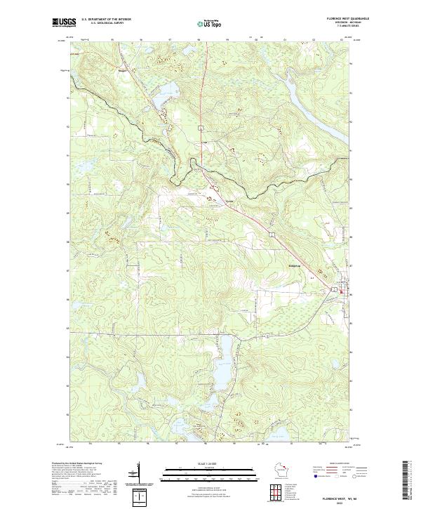
2022 Florence West
Florence County, WI
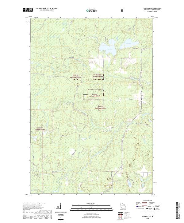
2022 Iron Mountain SW
Florence County, WI
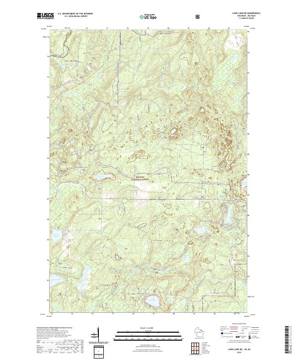
2022 Long Lake NE
Florence County, WI
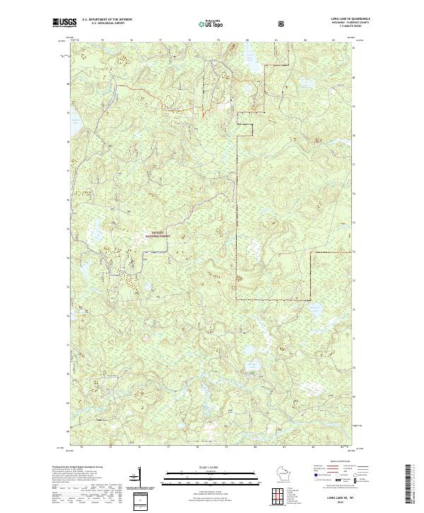
2022 Long Lake SE
Florence County, WI