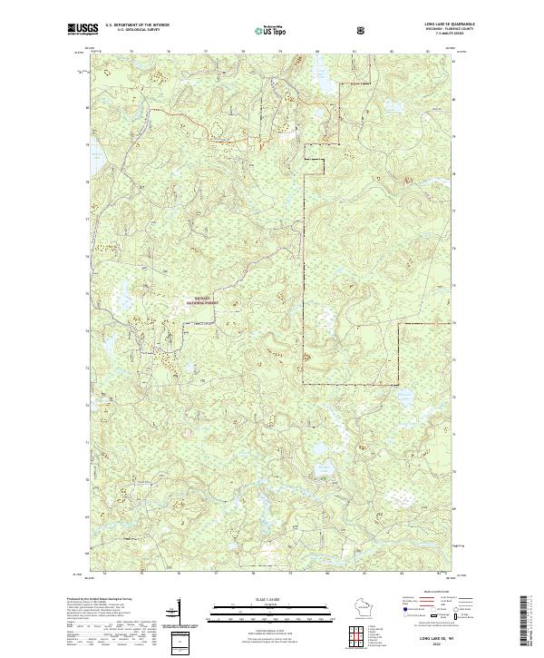
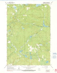
2022 Map of Long Lake SE
USGS Topo · Published 2022About this map
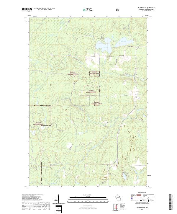
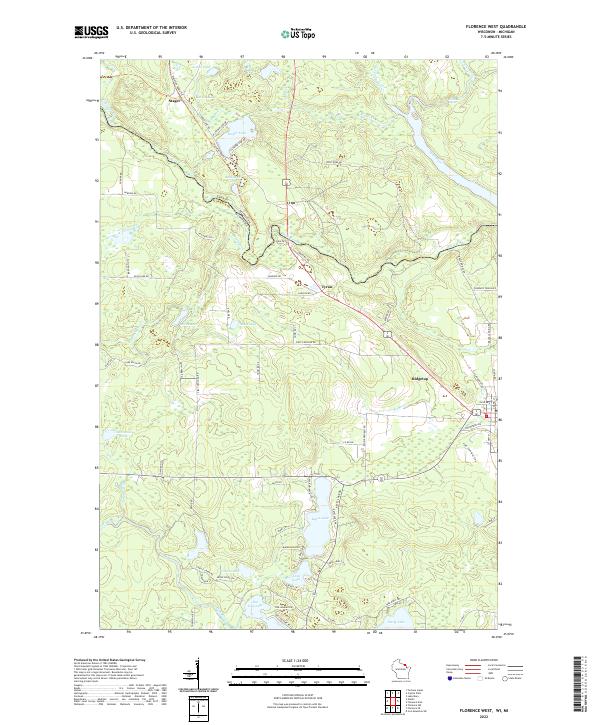
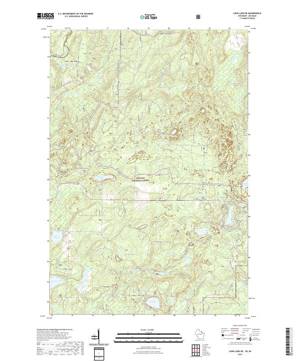
Nicolet National Forest dominates this section of Florence County, preserving a dense network of waterways and timberland in northern Wisconsin. The Pine River cuts across the northern edge of the sheet, while the Popple River and its South Branch provide key drainage in the south. The landscape is dotted with numerous small lakes, including Halsey Lake, Morgan Lake, and the remote Grub Hoe Lake. A complex system of recreational routes such as the Florence Co Snowmobile Trl and Atv Trail Erf101 Trl weave through the forest, following old grades and forest roads like Flume Road and Grade Rd. This 2022 survey illustrates the modern management of these public lands, where traditional logging infrastructure has transitioned into a network for outdoor recreation and conservation.
Find a feature on this map
29 named features on this map. Tap any name to fly to it.
Don’t see what you’re looking for? This feature index may not catch every label — zoom into the map to look around manually.
Map Details
Editions of this 2022 Long Lake SE Map
This is the sole edition of this map. No revisions or reprints were ever made.
Historical Maps of Florence Through Time
16 maps found
1947 Stager
Florence County, WI
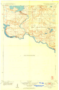
1949 Commonwealth
Florence County, WI
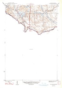
1962 Florence East
Florence County, WI
1962 Florence SE
Florence County, WI
1962 Florence SW
Florence County, WI
1962 Florence West
Florence County, WI
1962 Iron Mountain SW
Florence County, WI
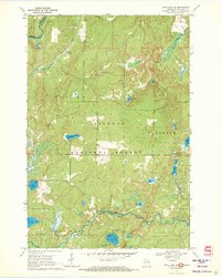
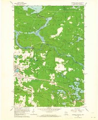
1970 Long Lake NE
Florence County, WI
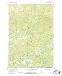
1970 Long Lake SE
Florence County, WI
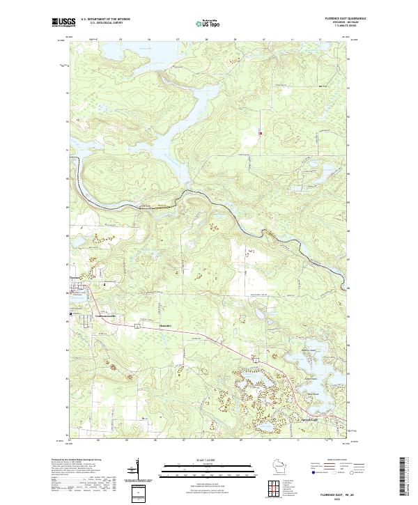
2022 Florence East
Florence County, WI
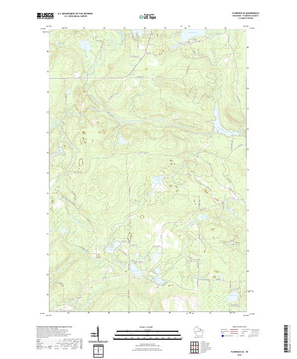
2022 Florence SE
Florence County, WI
2022 Florence SW
Florence County, WI
2022 Florence West
Florence County, WI
2022 Iron Mountain SW
Florence County, WI
2022 Long Lake NE
Florence County, WI
2022 Long Lake SE
Florence County, WI