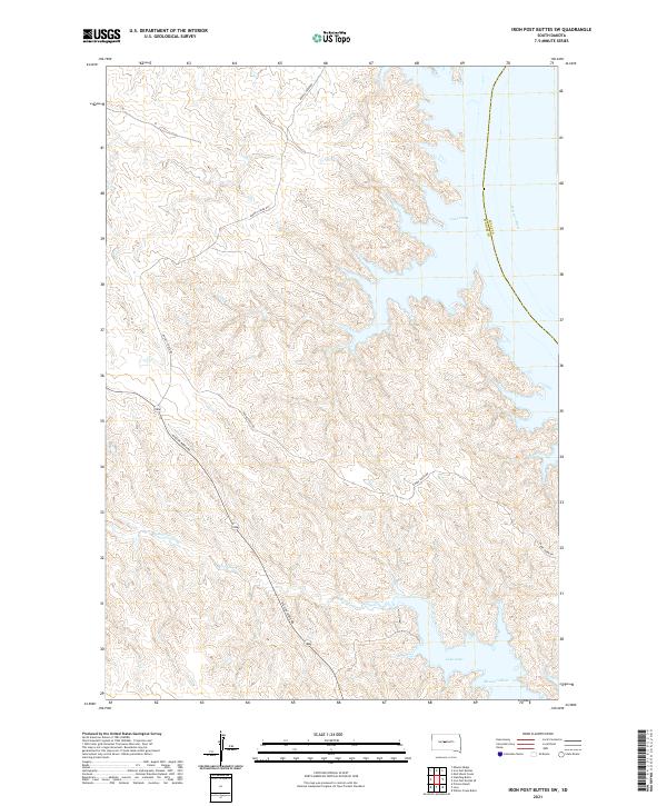
2021 Map of Iron Post Buttes SW
USGS Topo · Published 2021About this map
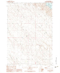
Lake Oahe and the Missouri River dominate the eastern reaches of this Stanley County landscape, where the water's edge meets the dissected uplands of central South Dakota. The topography is defined by significant drainages including Snake Cr, Deep Cr, and Chantier Creek, which carve through the terrain toward the reservoir. The road network reflects the rural and ranching character of the region, anchored by Mission Ridge Rd and Agency Creek Rd. This survey illustrates the intricate relationship between the Missouri River's dammed water levels and the surrounding creek valleys, providing a precise record of the shoreline and elevation contours within t7n r28e and neighboring townships.
Find a feature on this map
17 named features on this map. Tap any name to fly to it.
Don’t see what you’re looking for? This feature index may not catch every label — zoom into the map to look around manually.
Map Details
Editions of this 2021 Iron Post Buttes SW Map
This is the sole edition of this map. No revisions or reprints were ever made.
Other maps of this area

1937 · Oahe
USGS Topo · 1:62,500

1954 · Pierre
USGS Topo · 1:250,000

1958 · Pierre
USGS Topo · 1:250,000
1973 · Iron Post Buttes SE
USGS Topo · 1:24,000

1973 · Iron Post Buttes SW
USGS Topo · 1:24,000

1973 · Iron Post Buttes
USGS Topo · 1:24,000
1973 · Willow Creek Butte
USGS Topo · 1:24,000
1973 · Mail Shack Creek
USGS Topo · 1:24,000

1980 · Princes Ranch
USGS Topo · 1:25,000
1982 · Lacy
USGS Topo · 1:24,000