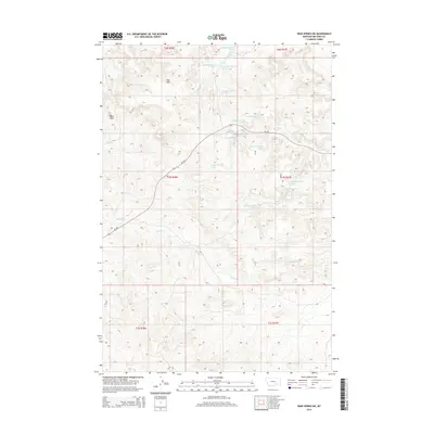
2014 Map of Iron Spring SW
USGS Topo · Published 2014About this map
The Red Hills rise above a landscape defined by an intricate network of water sources and seasonal drainages in this Big Horn County region. This 2014 survey captures a terrain marked by numerous named springs, including 01n37e07ccaa01 Spring and 01n37e07dbac01 Spring, which historically supported ranching and migration across these high plains. Waterways such as Spring Creek and Plum Creek carve through the land, while the course of Mt-384 provides the primary transit corridor through the township sections. The concentration of coded spring locations, such as 01n36e01badd01 Spring near Pleasant Creek, highlights the critical importance of reliable water points in an otherwise arid environment. This map serves as a precise record of the hydrologic features and road improvements within the various township boundaries like t1n r36e during the early 21st century.
Find a feature on this map
26 named features on this map. Tap any name to fly to it.
Don’t see what you’re looking for? This feature index may not catch every label — zoom into the map to look around manually.
Map Details
Editions of this 2014 Iron Spring SW Map
This is the sole edition of this map. No revisions or reprints were ever made.
Other maps of this area

1954 · Hardin
USGS Topo · 1:250,000

1957 · Hardin
USGS Topo · 1:250,000

1958 · Hardin
USGS Topo · 1:250,000
1967 · Jeans Fork NW
USGS Topo · 1:24,000
1967 · Jeans Fork NE
USGS Topo · 1:24,000
1967 · Crow Agency NE
USGS Topo · 1:24,000
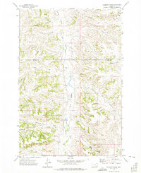
1972 · Hammond Ranch
USGS Topo · 1:24,000
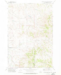
1972 · Minnehaha Creek South
USGS Topo · 1:24,000
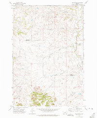
1972 · Iron Spring
USGS Topo · 1:24,000
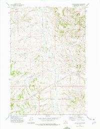
1972 · Padlock Ranch
USGS Topo · 1:24,000