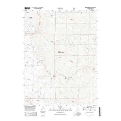
2015 Map of Ironside Mountain
USGS Topo · Published 2015About this map
Trinity River and its confluence with the New River dominate this mountain landscape, carving a deep corridor through the Six Rivers National Forest and Trinity National Forest. The community of Burnt Ranch serves as a central point of settlement along the river banks, accompanied by smaller flats and riverside landings such as Cedar Flat and Bell Flat. The topography is defined by the massive Ironside Mountain and Halsey Ridge, which rise steeply above the water. Evidence of the region’s hydraulic and geological history is visible in features like the China Slide and various river bars, including New York Bar and Luccock Bar. In the higher elevations, smaller water bodies like Hidden Lake and named springs such as Misery Spring provide critical water sources in this complex terrain of canyons and mountain peaks.
Find a feature on this map
52 named features on this map. Tap any name to fly to it.
Don’t see what you’re looking for? This feature index may not catch every label — zoom into the map to look around manually.
Map Details
Editions of this 2015 Ironside Mountain Map
This is the sole edition of this map. No revisions or reprints were ever made.
Other maps of this area
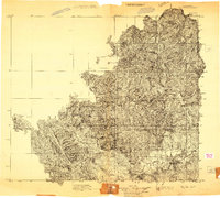
1909 · Big Bar
USGS Topo · 1:96,000
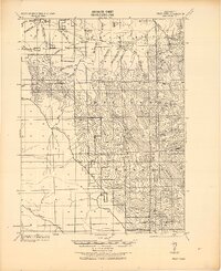
1914 · Pilot Creek
USGS Topo · 1:62,500
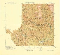
1915 · Big Bar and Vicinity
USGS Topo · 1:250,000
1922 · China Flat
USGS Topo · 1:62,500
1951 · Pilot Creek
USGS Topo · 1:62,500
1951 · Hyampom
USGS Topo · 1:62,500
1951 · Ironside Mountain
USGS Topo · 1:62,500
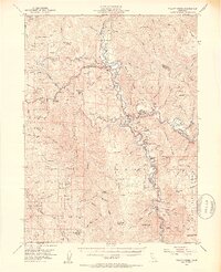
1952 · Willow Creek
USGS Topo · 1:62,500
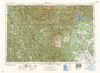
1958 · Redding
USGS Topo · 1:250,000
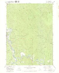
1979 · Salyer
USGS Topo · 1:24,000