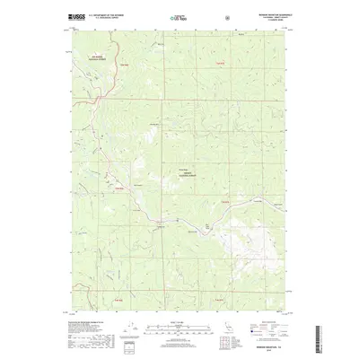
2018 Map of Ironside Mountain
USGS Topo · Published 2018About this map
The Trinity River cuts a deep path through the heart of the Klamath Mountains, defining the geography of this rugged Trinity County landscape. Along its banks, the river forms several distinctive river bars and flats, including Luccock Bar, New York Bar, and Cedar Flat, which serve as small focal points for local movement and topography. The river's power is evident at Burnt Ranch Falls and within the narrow walls of Box Canyon.
Find a feature on this map
55 named features on this map. Tap any name to fly to it.
Don’t see what you’re looking for? This feature index may not catch every label — zoom into the map to look around manually.
Map Details
Editions of this 2018 Ironside Mountain Map
This is the sole edition of this map. No revisions or reprints were ever made.
Other maps of this area
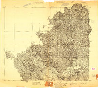
1909 · Big Bar
USGS Topo · 1:96,000
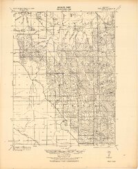
1914 · Pilot Creek
USGS Topo · 1:62,500
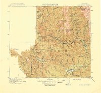
1915 · Big Bar and Vicinity
USGS Topo · 1:250,000
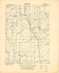
1922 · China Flat
USGS Topo · 1:62,500
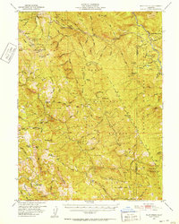
1951 · Pilot Creek
USGS Topo · 1:62,500
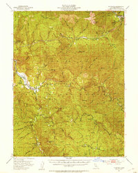
1951 · Hyampom
USGS Topo · 1:62,500
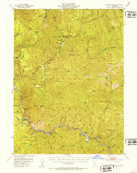
1951 · Ironside Mountain
USGS Topo · 1:62,500
1952 · Willow Creek
USGS Topo · 1:62,500
1958 · Redding
USGS Topo · 1:250,000
1979 · Salyer
USGS Topo · 1:24,000