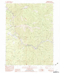
1982 Map of Ironside Mtn
USGS Topo · Published 1982About this map
The Trinity River carves a deep path through the heart of the Trinity National Forest and Six Rivers National Forest in this 1982 survey. Small riverside settlements and clearings like Burnt Ranch and Cedar Flat provide focal points for human activity along the 299 corridor, while the surrounding landscape is defined by steep ridges and numerous drainages. A small Cem is marked near Hennessy Creek, indicating early family or pioneer burials in this remote river canyon.
Find a feature on this map
58 named features on this map. Tap any name to fly to it.
Don’t see what you’re looking for? This feature index may not catch every label — zoom into the map to look around manually.
Map Details
Editions of this 1982 Ironside Mtn Map
This is the sole edition of this map. No revisions or reprints were ever made.
Other maps of this area

1909 · Big Bar
USGS Topo · 1:96,000

1914 · Pilot Creek
USGS Topo · 1:62,500

1915 · Big Bar and Vicinity
USGS Topo · 1:250,000

1922 · China Flat
USGS Topo · 1:62,500

1951 · Pilot Creek
USGS Topo · 1:62,500

1951 · Hyampom
USGS Topo · 1:62,500

1951 · Ironside Mountain
USGS Topo · 1:62,500

1952 · Willow Creek
USGS Topo · 1:62,500

1958 · Redding
USGS Topo · 1:250,000
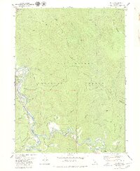
1979 · Salyer
USGS Topo · 1:24,000