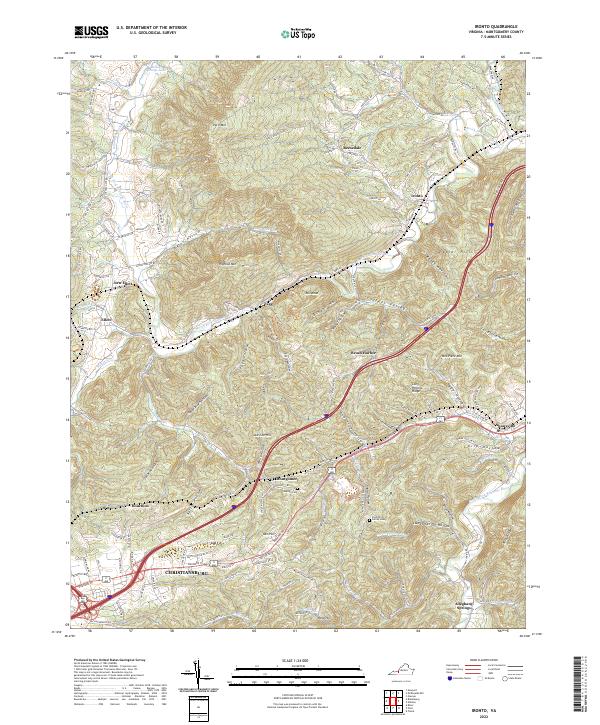
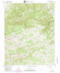
2022 Map of Ironto
USGS Topo · Published 2022About this map
The North Fork Roanoke River carves a deep path through the mountains of Montgomery County, defining the valley landscape between Paris Mtn and the Pedlar Hills. This 2022 survey captures the contemporary footprint of Christiansburg as it extends toward the rural communities of Montgomery and Den Hill. The map provides significant genealogical value through the documentation of family landmarks, including the Preston Family Cem and the Den Hill Cem, alongside historical industrial markers like Iron Mine Hollow. Small settlements such as Fagg, Ironto, and Shawsville line the narrow valley corridors, illustrating how the topography of hollows like Slaughterpen Hollow and Ginger Hollow has shaped local habitation and transport. The confluence of the South Fork Roanoke River near Alleghany Springs marks a key hydrological point in this complex drainage system.
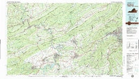
Find a feature on this map
143 named features on this map. Tap any name to fly to it.
Don’t see what you’re looking for? This feature index may not catch every label — zoom into the map to look around manually.
Map Details
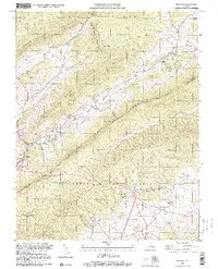
Editions of this 2022 Ironto Map
This is the sole edition of this map. No revisions or reprints were ever made.
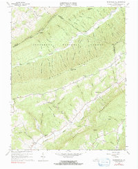
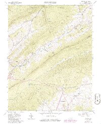
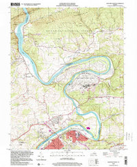
Historical Maps of Fagg Through Time
13 maps found
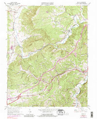
1965 Ironto
Montgomery County, VA
1965 Mc Donalds Mill
Montgomery County, VA
1965 Newport
Montgomery County, VA
1965 Pilot
Montgomery County, VA

1965 Radford North
Montgomery County, VA
1982 Radford
Montgomery County, VA
1998 Newport
Montgomery County, VA
1998 Radford North
Montgomery County, VA
2022 Ironto
Montgomery County, VA
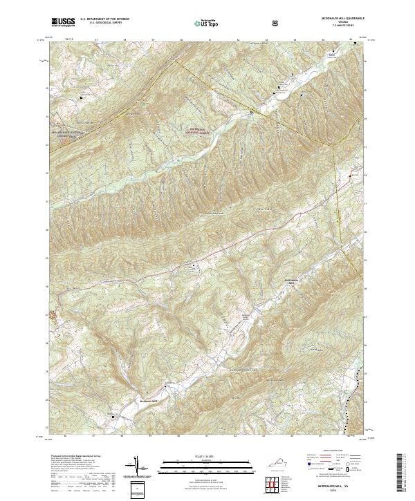
2022 McDonalds Mill
Montgomery County, VA
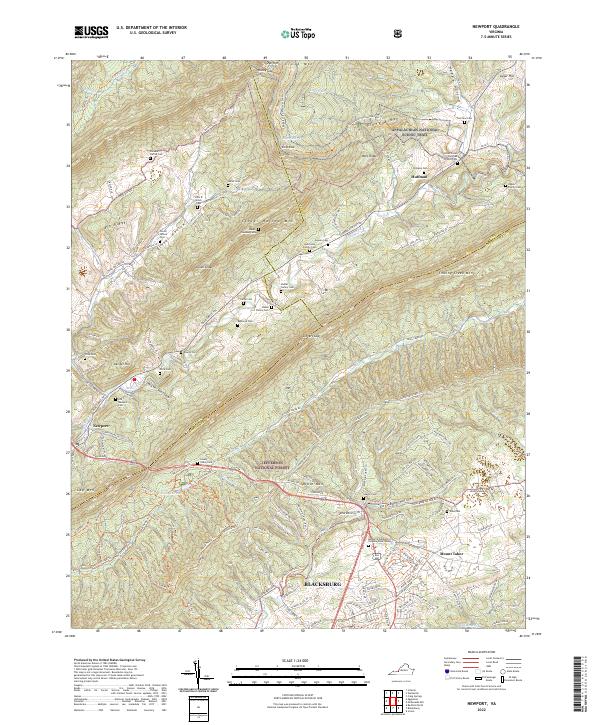
2022 Newport
Montgomery County, VA
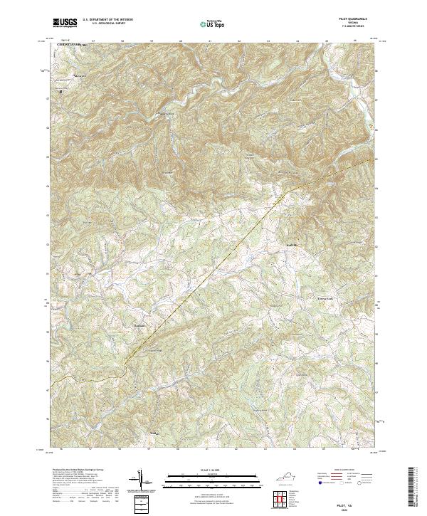
2022 Pilot
Montgomery County, VA
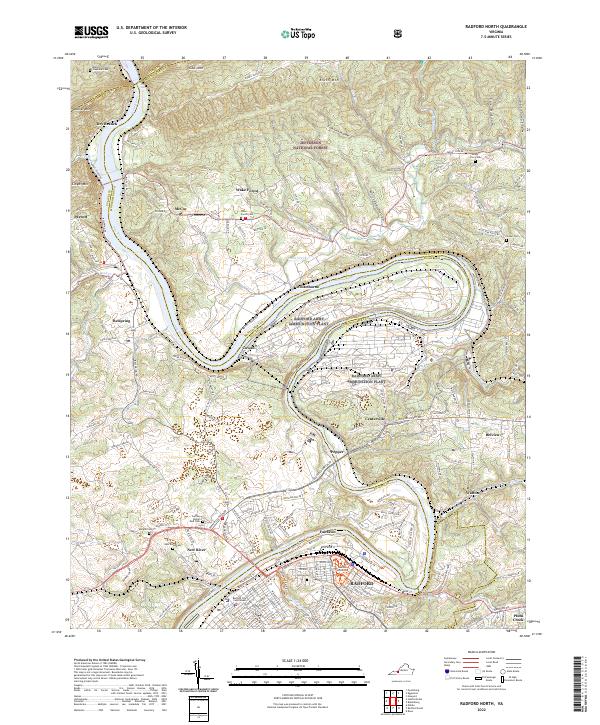
2022 Radford North
Montgomery County, VA