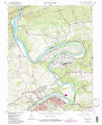
1965 Map of Radford North
USGS Topo · Published 1984About this map
The New River carves a dramatic, winding course through this section of the New River Valley, shaping the industrial and institutional character of the region during the mid-1960s. Dominating the central bend is the sprawling Radford Army Ammunition Plant, a massive installation that defines the riverfront between Belspring and Pepper. To the south, the expansion of Radford is evident, centered around Radford University and the residential growth in Fairlawn.
Find a feature on this map
67 named features on this map. Tap any name to fly to it.
Don’t see what you’re looking for? This feature index may not catch every label — zoom into the map to look around manually.
Map Details
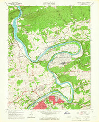
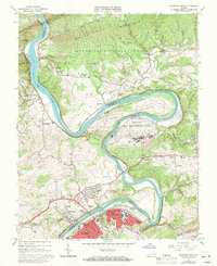
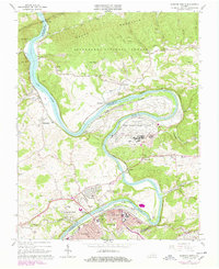
Editions of this 1965 Radford North Map
4 editions found
Other maps of this area

1890 · Dublin
USGS Topo · 1:125,000

1890 · Christiansburg
USGS Topo · 1:125,000

1891 · Dublin
USGS Topo · 1:125,000

1923 · Pearisburg
USGS Topo · 1:62,500

1923 · Waiteville
USGS Topo · 1:62,500

1931 · Waiteville
USGS Topo · 1:48,000

1932 · Pearisburg
USGS Topo · 1:48,000

1932 · Blacksburg
USGS Topo · 1:48,000

1937 · Pearisburg
USGS Topo · 1:62,500

1937 · Blacksburg
USGS Topo · 1:62,500