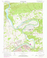
1965 Map of Radford North
USGS Topo · Published 1978About this map
The New River winds through this 1960s landscape, serving as a natural boundary and economic artery for the industrial and military developments of the New River Valley. Dominating a large bend in the river is the Radford Army Ammunition Plant, a significant federal installation surrounded by the rural communities of McCoy, Wake Forest, and Belspring. The era's transportation network is defined by the Norfolk and Western railway, which follows the river's path, and the development of Interstate 81 to the south. Local history is preserved through numerous rural landmarks, including Centennial Ch and the Wake Forest Sch, alongside residential growth in Fairlawn and the city of Radford. The contrast between the heavy industrial footprint of the ammunition plant and the protected slopes of Jefferson National Forest to the north illustrates the region's varied land use during the mid-20th century.
Find a feature on this map
66 named features on this map. Tap any name to fly to it.
Don’t see what you’re looking for? This feature index may not catch every label — zoom into the map to look around manually.
Map Details
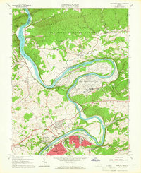
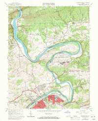
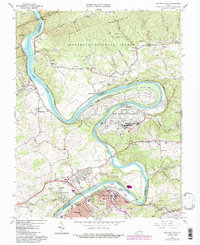
Editions of this 1965 Radford North Map
4 editions found
Other maps of this area

1890 · Dublin
USGS Topo · 1:125,000

1890 · Christiansburg
USGS Topo · 1:125,000

1891 · Dublin
USGS Topo · 1:125,000

1923 · Pearisburg
USGS Topo · 1:62,500

1923 · Waiteville
USGS Topo · 1:62,500

1931 · Waiteville
USGS Topo · 1:48,000

1932 · Pearisburg
USGS Topo · 1:48,000

1932 · Blacksburg
USGS Topo · 1:48,000

1937 · Pearisburg
USGS Topo · 1:62,500

1937 · Blacksburg
USGS Topo · 1:62,500