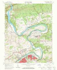
1965 Map of Radford North
USGS Topo · Published 1971About this map
The New River carves a dramatic oxbow around the Radford Army Ammunition Plant, a massive industrial installation that dominates the central landscape. This mid-century survey reveals a region defined by its steep topography, where Brush Mountain and Walker Mtn hem in narrow valleys and the winding river corridor. To the south, the City of Radford and Fairlawn show significant growth, connected to the rail lines of the Norfolk and Western which follow the river's path through the mountains.
Find a feature on this map
61 named features on this map. Tap any name to fly to it.
Don’t see what you’re looking for? This feature index may not catch every label — zoom into the map to look around manually.
Map Details
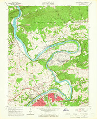
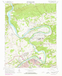
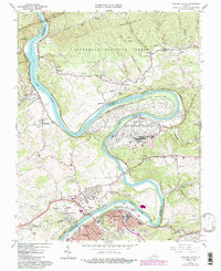
Editions of this 1965 Radford North Map
4 editions found
Other maps of this area

1890 · Dublin
USGS Topo · 1:125,000

1890 · Christiansburg
USGS Topo · 1:125,000

1891 · Dublin
USGS Topo · 1:125,000

1923 · Pearisburg
USGS Topo · 1:62,500

1923 · Waiteville
USGS Topo · 1:62,500

1931 · Waiteville
USGS Topo · 1:48,000

1932 · Pearisburg
USGS Topo · 1:48,000

1932 · Blacksburg
USGS Topo · 1:48,000

1937 · Pearisburg
USGS Topo · 1:62,500

1937 · Blacksburg
USGS Topo · 1:62,500