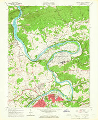
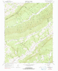
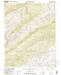
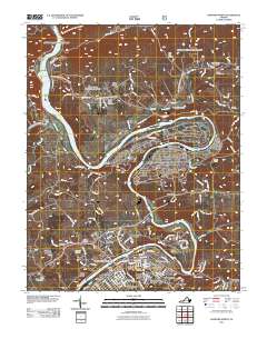
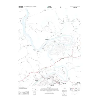
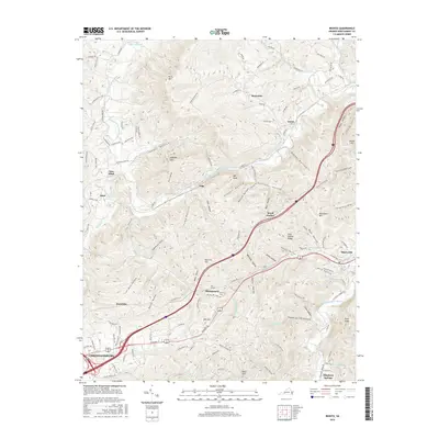
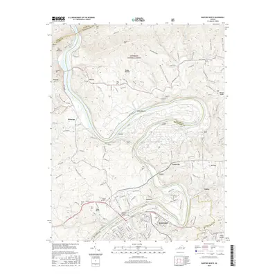
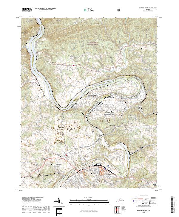
1965 Map of Radford North
USGS Topo · Published 1966About this map
The New River carves a deep, winding path through the heart of this mid-1960s survey, serving as the primary geographic anchor for the region's industrial and residential development. Dominating a massive oxbow in the river is the Radford Army Ammunition Plant, a significant military-industrial installation that defines the landscape north of the city. To the south, the City of Radford shows a dense street grid including Main St and Norwood St, anchored by the Radford College campus.
Find a feature on this map
87 named features on this map. Tap any name to fly to it.
Don’t see what you’re looking for? This feature index may not catch every label — zoom into the map to look around manually.
Map Details
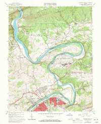
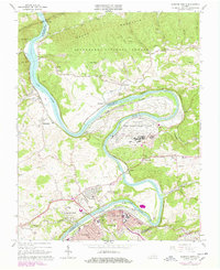
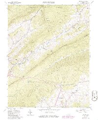
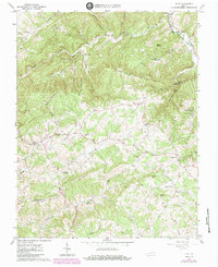
Editions of this 1965 Radford North Map
4 editions found
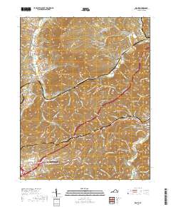
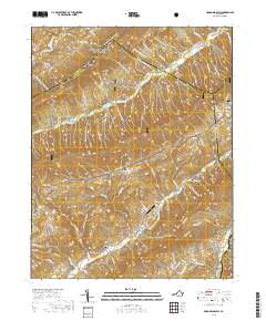
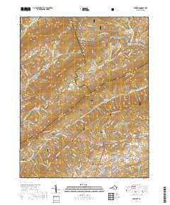
Historical Maps of Radford Through Time
33 maps found
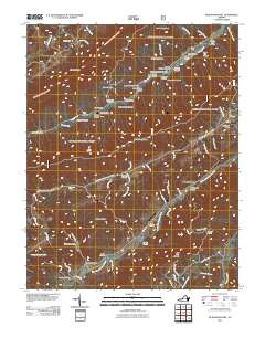
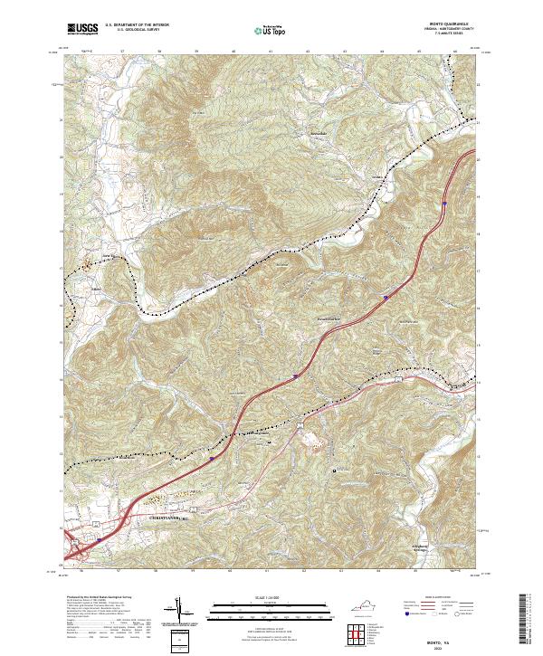
1965 Ironto
Montgomery County, VA
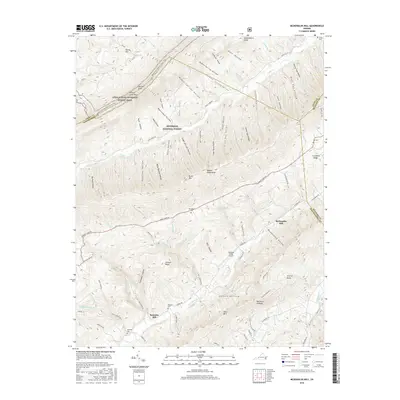
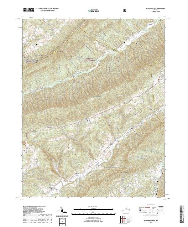
1965 Mc Donalds Mill
Montgomery County, VA
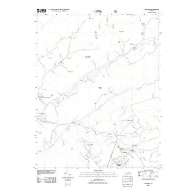
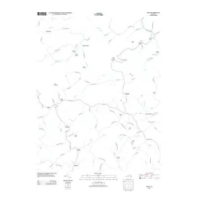
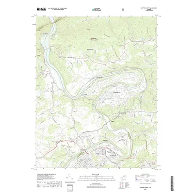
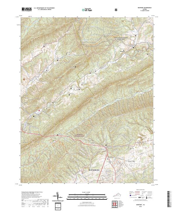
1965 Newport
Montgomery County, VA
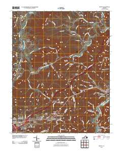
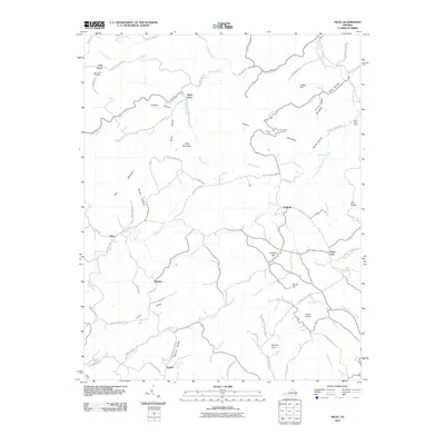
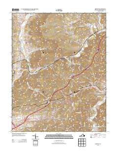
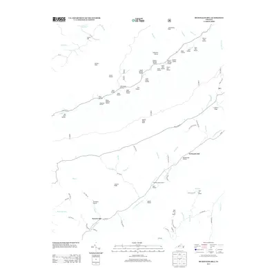
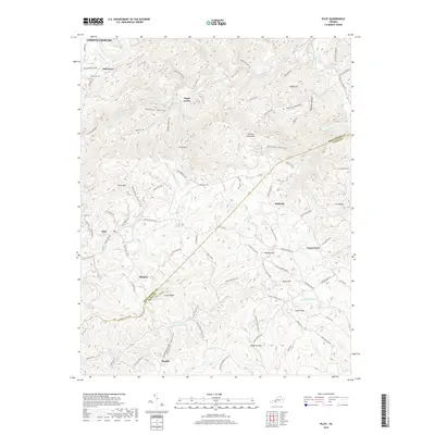
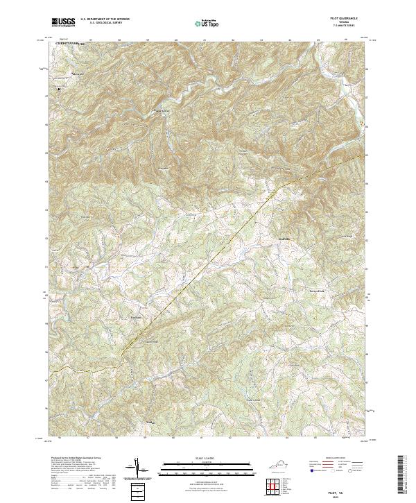
1965 Pilot
Montgomery County, VA

1965 Radford North
Montgomery County, VA
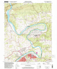
1982 Radford
Montgomery County, VA
1998 Newport
Montgomery County, VA
1998 Radford North
Montgomery County, VA
2010 Ironto
Montgomery County, VA
2010 Pilot
Montgomery County, VA
2011 McDonalds Mill
Montgomery County, VA
2011 Newport
Montgomery County, VA
2011 Radford North
Montgomery County, VA
2013 Ironto
Montgomery County, VA
2013 McDonalds Mill
Montgomery County, VA
2013 Newport
Montgomery County, VA
2013 Pilot
Montgomery County, VA
2013 Radford North
Montgomery County, VA
2016 Ironto
Montgomery County, VA
2016 McDonalds Mill
Montgomery County, VA
2016 Newport
Montgomery County, VA
2016 Pilot
Montgomery County, VA
2016 Radford North
Montgomery County, VA
2019 Ironto
Montgomery County, VA
2019 McDonalds Mill
Montgomery County, VA
2019 Newport
Montgomery County, VA
2019 Pilot
Montgomery County, VA
2019 Radford North
Montgomery County, VA
2022 Ironto
Montgomery County, VA
2022 McDonalds Mill
Montgomery County, VA
2022 Newport
Montgomery County, VA
2022 Pilot
Montgomery County, VA
2022 Radford North
Montgomery County, VA