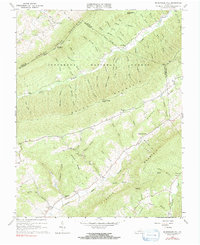
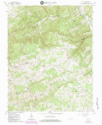
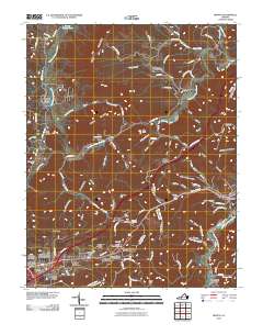
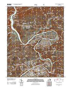
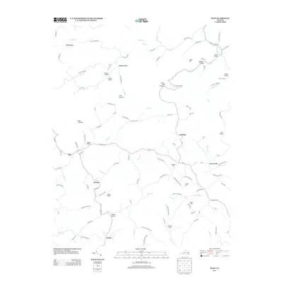
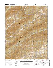
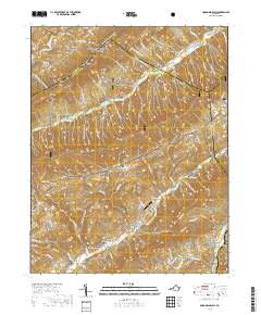
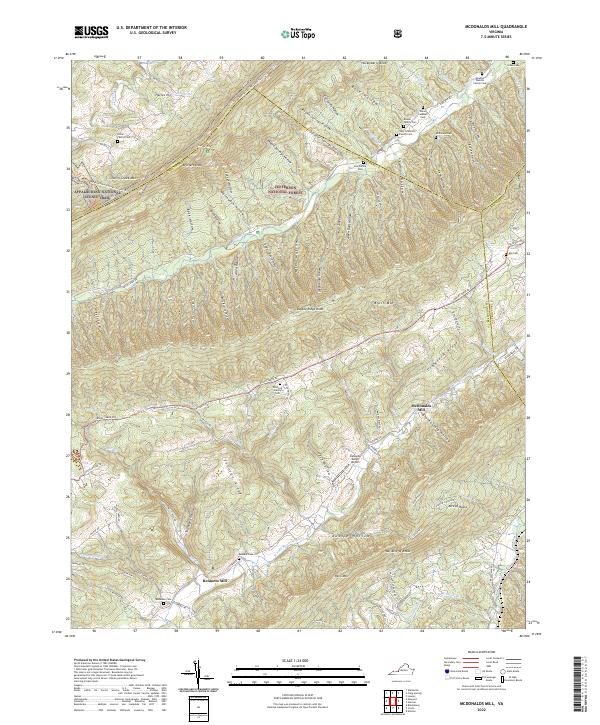
1965 Map of Mc Donalds Mill
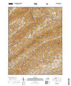
USGS Topo · Published 1991About this map
The North Fork of the Roanoke River winds through this mid-1960s survey of the Virginia highlands, where mountain agriculture and milling define the local economy. In the valley below Paris Mountain, the namesake Mc Donalds Mill and nearby Bennetts Mill stand as central landmarks for the surrounding rural community. The landscape is dominated by parallel ridges, including Sinking Creek Mountain and Brush Mountain, which frame the deep hollows of Craig Creek and its many tributaries.
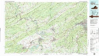
Find a feature on this map
68 named features on this map. Tap any name to fly to it.
Don’t see what you’re looking for? This feature index may not catch every label — zoom into the map to look around manually.
Map Details
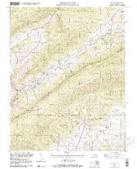
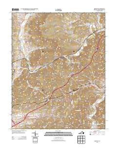
Editions of this 1965 Mc Donalds Mill Map
2 editions found
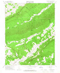
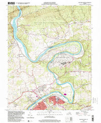
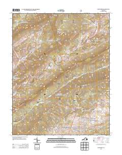
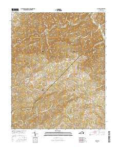
Historical Maps of Bennetts Mill Through Time
33 maps found
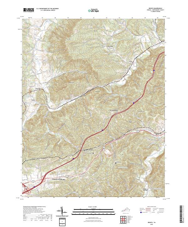
1965 Ironto
Montgomery County, VA
1965 Mc Donalds Mill
Montgomery County, VA
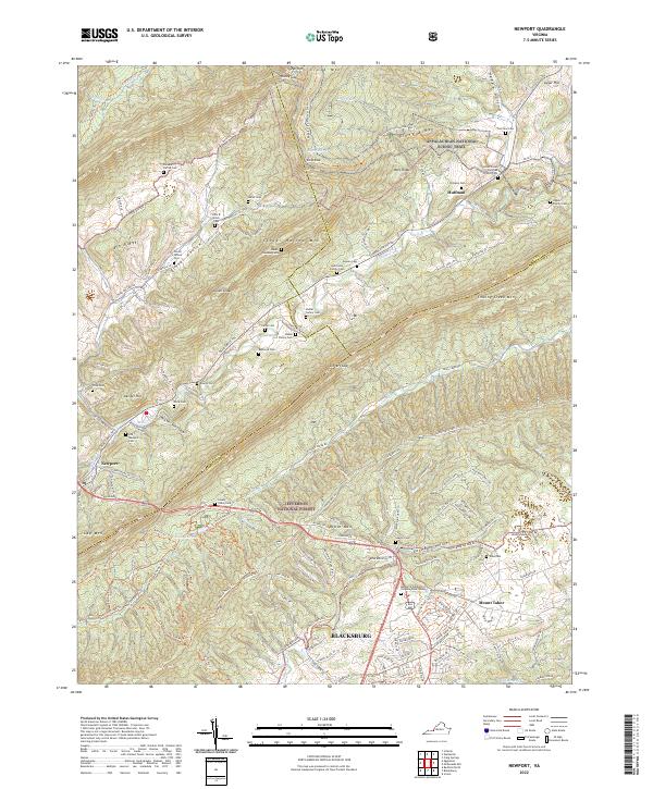
1965 Newport
Montgomery County, VA
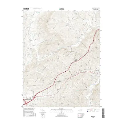
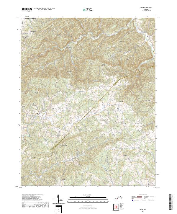
1965 Pilot
Montgomery County, VA

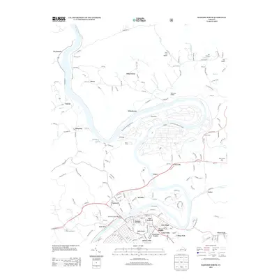
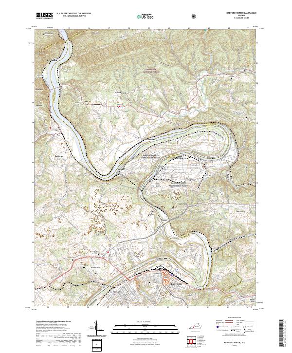
1965 Radford North
Montgomery County, VA
1982 Radford
Montgomery County, VA
1998 Newport
Montgomery County, VA
1998 Radford North
Montgomery County, VA
2010 Ironto
Montgomery County, VA
2010 Pilot
Montgomery County, VA
2011 McDonalds Mill
Montgomery County, VA
2011 Newport
Montgomery County, VA
2011 Radford North
Montgomery County, VA
2013 Ironto
Montgomery County, VA
2013 McDonalds Mill
Montgomery County, VA
2013 Newport
Montgomery County, VA
2013 Pilot
Montgomery County, VA
2013 Radford North
Montgomery County, VA
2016 Ironto
Montgomery County, VA
2016 McDonalds Mill
Montgomery County, VA
2016 Newport
Montgomery County, VA
2016 Pilot
Montgomery County, VA
2016 Radford North
Montgomery County, VA
2019 Ironto
Montgomery County, VA
2019 McDonalds Mill
Montgomery County, VA
2019 Newport
Montgomery County, VA
2019 Pilot
Montgomery County, VA
2019 Radford North
Montgomery County, VA
2022 Ironto
Montgomery County, VA
2022 McDonalds Mill
Montgomery County, VA
2022 Newport
Montgomery County, VA
2022 Pilot
Montgomery County, VA
2022 Radford North
Montgomery County, VA