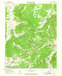
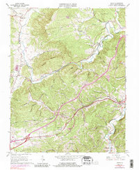
1965 Map of Ironto
USGS Topo · Published 1968About this map
The North Fork Roanoke River carves a winding path through the complex ridge-and-valley landscape of Montgomery County, where the Norfolk and Western railway dictates the settlement patterns of the 1960s. This survey illustrates the close relationship between the railroad and small valley communities like Montgomery, Ironto, and Shawsville. While the lower elevations are marked by industry and infrastructure—including Interchange 37 and various quarries—the higher ground of Paris Mountain and Hightop Mountain remains dominated by family-named hollows and small rural churches.
Find a feature on this map
70 named features on this map. Tap any name to fly to it.
Don’t see what you’re looking for? This feature index may not catch every label — zoom into the map to look around manually.
Map Details
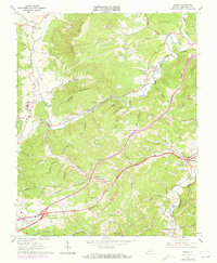
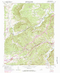
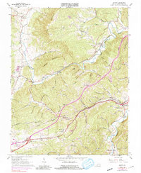
Editions of this 1965 Ironto Map
5 editions found
Other maps of this area

1890 · Christiansburg
USGS Topo · 1:125,000

1923 · Waiteville
USGS Topo · 1:62,500

1929 · Salem
USGS Topo · 1:48,000

1931 · Waiteville
USGS Topo · 1:48,000

1932 · Salem
USGS Topo · 1:62,500

1932 · Blacksburg
USGS Topo · 1:48,000

1937 · Blacksburg
USGS Topo · 1:62,500

1944 · Waiteville
USGS Topo · 1:62,500

1950 · Elliston
USGS Topo · 1:62,500

1951 · Waiteville
USGS Topo · 1:62,500