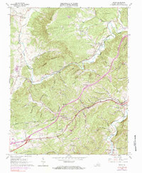
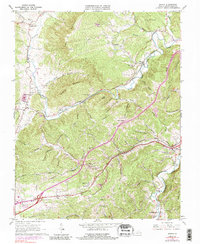
1965 Map of Ironto
USGS Topo · Published 1983About this map
Paris Mountain and Hightop Mountain dominate this landscape of the Roanoke River valley, where the Norfolk and Western railway threads through a network of steep hollows and narrow gaps. The community of Ironto serves as a focal point along the North Fork Roanoke River, while to the south, the settlement of Montgomery sits near the base of Den Hill. This survey highlights the region's industrial and spiritual landmarks, from the Iron Mine and Quarry to rural congregations at Mt Calvary Ch, Halls Ch, and Garber Chapel. The map documents the intricate valley geography, naming dozens of specific drainages like Houchins Hollow and Coffee Valley that defined early landholdings. To the southeast, the terrain softens slightly near Shawsville and Alleghany Springs, reflecting the transition from high ridgelines to the river's lower reaches.
Find a feature on this map
74 named features on this map. Tap any name to fly to it.
Don’t see what you’re looking for? This feature index may not catch every label — zoom into the map to look around manually.
Map Details
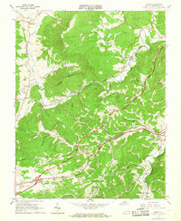
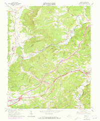
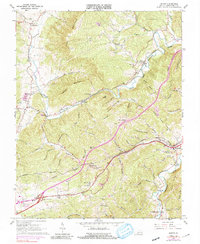
Editions of this 1965 Ironto Map
5 editions found
Other maps of this area

1890 · Christiansburg
USGS Topo · 1:125,000

1923 · Waiteville
USGS Topo · 1:62,500

1929 · Salem
USGS Topo · 1:48,000

1931 · Waiteville
USGS Topo · 1:48,000

1932 · Salem
USGS Topo · 1:62,500

1932 · Blacksburg
USGS Topo · 1:48,000

1937 · Blacksburg
USGS Topo · 1:62,500

1944 · Waiteville
USGS Topo · 1:62,500

1950 · Elliston
USGS Topo · 1:62,500

1951 · Waiteville
USGS Topo · 1:62,500