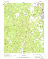
1968 Map of Ironton
USGS Topo · Published 1970About this map
The Arcadia Valley serves as the focal point of this late-1960s survey, where the interconnected communities of Ironton, Arcadia, and Pilot Knob established themselves against the backdrop of the St. Francois Mountains. The local economy and history are deeply tied to the mineral wealth of the region, evidenced by numerous mines and the Site of Ft Davidson, a reminder of the area's strategic importance during the Civil War. The Missouri Pacific railroad winds through the terrain, following the valley floors past College Hill and through the dramatic Royal Gorge.
Find a feature on this map
52 named features on this map. Tap any name to fly to it.
Don’t see what you’re looking for? This feature index may not catch every label — zoom into the map to look around manually.
Map Details
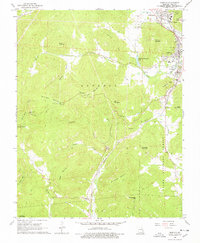
Editions of this 1968 Ironton Map
2 editions found
Other maps of this area

1924 · Edgehill
USGS Topo · 1:62,500

1926 · Edgehill
USGS Topo · 1:62,500

1926 · Des Arc
USGS Topo · 1:62,500

1929 · Des Arc
USGS Topo · 1:62,500

1937 · Ironton
USGS Topo · 1:48,000

1943 · Lesterville
USGS Topo · 1:62,500

1945 · Ironton
USGS Topo · 1:62,500

1946 · Lesterville
USGS Topo · 1:62,500

1946 · Ironton
USGS Topo · 1:62,500

1949 · Rolla
USGS Topo · 1:250,000