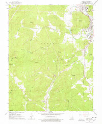
1968 Map of Ironton
USGS Topo · Published 1978About this map
The Site of Ft Davidson stands as a prominent landmark in the north, anchoring the connected settlements of Pilot Knob, Ironton, and Arcadia. This mid-century landscape is defined by the heavy infrastructure of the Missouri Pacific railroad and the Old RR Grade, which thread through a valley guarded by Shepherd Mountain and Russell Mountain. Local social life is mapped through the Arcadia Valley School, Ursuline Academy, and rural meeting points like Stouts Creek Church.
Find a feature on this map
58 named features on this map. Tap any name to fly to it.
Don’t see what you’re looking for? This feature index may not catch every label — zoom into the map to look around manually.
Map Details
Editions of this 1968 Ironton Map
2 editions found
Other maps of this area

1924 · Edgehill
USGS Topo · 1:62,500

1926 · Edgehill
USGS Topo · 1:62,500

1926 · Des Arc
USGS Topo · 1:62,500

1929 · Des Arc
USGS Topo · 1:62,500

1937 · Ironton
USGS Topo · 1:48,000

1943 · Lesterville
USGS Topo · 1:62,500

1945 · Ironton
USGS Topo · 1:62,500

1946 · Lesterville
USGS Topo · 1:62,500

1946 · Ironton
USGS Topo · 1:62,500

1949 · Rolla
USGS Topo · 1:250,000