
1956 Map of Irvington
USGS Topo · Published 1957About this map
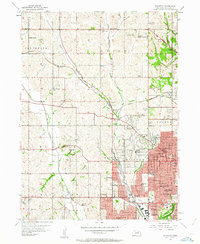
Omaha's northwestern expansion is frozen in time during the mid-1950s, showing the conversion of Douglas County farmland into residential grids. The map highlights the sprawling University of Omaha campus and the prominent Boys Town complex, which remains a distinct community on the western edge of the city. Aviation activity is surprisingly dense in this era, with North Omaha Airport, Clear Ridge Airport, and the Sky Ranch Landing Field all serving the region alongside the Omaha Air Force Station.
Find a feature on this map
73 named features on this map. Tap any name to fly to it.
Don’t see what you’re looking for? This feature index may not catch every label — zoom into the map to look around manually.
Map Details
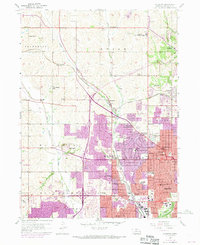
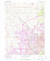
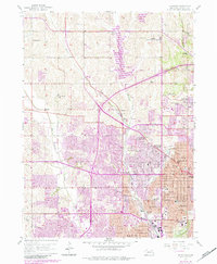
Editions of this 1956 Irvington Map
5 editions found
Other maps of this area

1893 · Omaha
USGS Topo · 1:62,500

1893 · Fremont
USGS Topo · 1:125,000

1896 · Fremont
USGS Topo · 1:125,000

1954 · Omaha
USGS Topo · 1:250,000

1955 · Fremont
USGS Topo · 1:250,000

1956 · Gretna
USGS Topo · 1:24,000

1956 · Ralston
USGS Topo · 1:24,000

1956 · Omaha North
USGS Topo · 1:24,000

1956 · Omaha South
USGS Topo · 1:24,000

1957 · Fremont
USGS Topo · 1:250,000