
1935 Map of Irwin
USGS Topo · Published 1935About this map
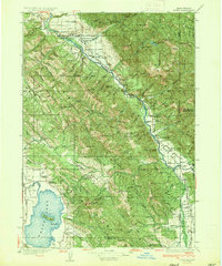
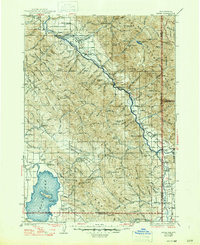
Snake River flows through the heart of this mid-1930s landscape, winding past the Grand Canyon of the Snake River before reaching the settlement of Irwin. This era was defined by a river-and-forest economy, evidenced by operations like Weeks Sawmill and the presence of numerous specialized outposts including the Swan Valley Ranger Sta and Brockman Ranger Sta. The map captures the remote settlement patterns along the Idaho-Wyoming border, where transit relied on points like Edwards Ferry and the early reaches of State Highway No 22.
Find a feature on this map
128 named features on this map. Tap any name to fly to it.
Don’t see what you’re looking for? This feature index may not catch every label — zoom into the map to look around manually.
Map Details
Editions of this 1935 Irwin Map
3 editions found
Other maps of this area

1899 · Grand Teton
USGS Topo · 1:125,000

1901 · Grand Teton
USGS Topo · 1:125,000

1914 · Henry
USGS Topo · 1:48,000

1915 · Freedom
USGS Topo · 1:62,500

1915 · Lanes Creek
USGS Topo · 1:62,500

1916 · Henry
USGS Topo · 1:62,500

1917 · Cranes Flat
USGS Topo · 1:62,500

1921 · Afton
USGS Topo · 1:125,000

1924 · Hell Creek
USGS Topo · 1:62,500

1926 · Hell Creek
USGS Topo · 1:62,500