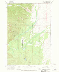
1966 Map of Isaac Meadows
USGS Topo · Published 1970About this map
Beaverhead National Forest land defines this mid-1960s survey, illustrating a landscape primarily shaped by resource extraction and rugged topography. The terrain is marked by significant mining activity, including the Moose Horn Mine and the Wenger Prospect located near Wenger Gulch. These features point to a history of prospecting and development in the high country, where ridges like Gory Ridge separate narrow drainages.
Find a feature on this map
22 named features on this map. Tap any name to fly to it.
Don’t see what you’re looking for? This feature index may not catch every label — zoom into the map to look around manually.
Map Details
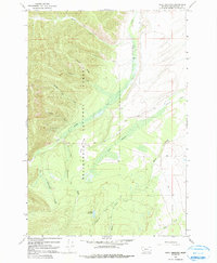
Editions of this 1966 Isaac Meadows Map
2 editions found
Other maps of this area

1955 · Dillon
USGS Topo · 1:250,000

1957 · Dillon
USGS Topo · 1:250,000

1958 · Dillon
USGS Topo · 1:250,000

1962 · Dillon
USGS Topo · 1:250,000

1965 · Dillon
USGS Topo · 1:250,000

1966 · Gibbons School
USGS Topo · 1:24,000

1966 · Shewag Lake
USGS Topo · 1:24,000

1966 · Big Hole Battlefield
USGS Topo · 1:24,000

1966 · Jumbo Mountain
USGS Topo · 1:24,000

1966 · Big Hole Pass
USGS Topo · 1:24,000