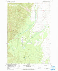
1966 Map of Isaac Meadows
USGS Topo · Published 1990About this map
Beaverhead National Forest defines this high-altitude landscape in the mid-1960s, characterized by a complex network of drainages and early mining prospects. The area around Ruby Creek and Isaac Meadows shows a transition from steep ridge lines like Gory Ridge to saturated lowlands including Yank Swamp. Economic activity is represented by the Moose Horn Mine and several unnamed mines near Wenger Prospect Gulch, while the presence of the H2O Ranch indicates the intersection of rugged topography and livestock management. This period in Beaverhead County's history is preserved here through a dense web of pack trails and jeep trails that navigate the terrain between Big Moosehorn Creek and Schultz Reservoir. The map provides a clear look at the hydrologic patterns and resource extraction points before modern development altered these remote drainages.
Find a feature on this map
21 named features on this map. Tap any name to fly to it.
Don’t see what you’re looking for? This feature index may not catch every label — zoom into the map to look around manually.
Map Details
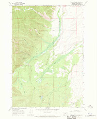
Editions of this 1966 Isaac Meadows Map
2 editions found
Other maps of this area

1955 · Dillon
USGS Topo · 1:250,000

1957 · Dillon
USGS Topo · 1:250,000

1958 · Dillon
USGS Topo · 1:250,000

1962 · Dillon
USGS Topo · 1:250,000

1965 · Dillon
USGS Topo · 1:250,000

1966 · Gibbons School
USGS Topo · 1:24,000

1966 · Shewag Lake
USGS Topo · 1:24,000

1966 · Big Hole Battlefield
USGS Topo · 1:24,000

1966 · Jumbo Mountain
USGS Topo · 1:24,000

1966 · Big Hole Pass
USGS Topo · 1:24,000