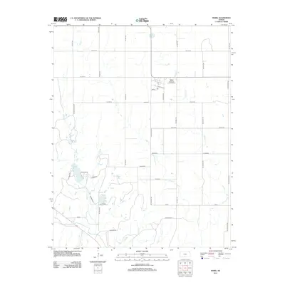
2012 Map of Isabel
USGS Topo · Published 2012About this map
Sand Cr and Chicken Cr wind through the agricultural landscape surrounding the small community of Isabel in this 2012 USGS record. The local settlement pattern is anchored by Main St and Santa Fe Ave, with the Po and Isabel Wastewater Treatment Facility serving as central landmarks. To the southwest, Lake Arrowshead provides a distinct hydrological feature, joined by numerous drainages including Amber Cr and Elm Cr. The map captures a transition in rural naming conventions, where traditional watercourses like Threemile Cr and Short Cr intersect with a modern grid of alphanumeric roads such as SE 110th St and NE Isabel Rd. Genealogists will find the exact location of the Isabel Cem north of the primary townsite, providing a clear geographic context for local family history research.
Find a feature on this map
42 named features on this map. Tap any name to fly to it.
Don’t see what you’re looking for? This feature index may not catch every label — zoom into the map to look around manually.
Map Details
Editions of this 2012 Isabel Map
This is the sole edition of this map. No revisions or reprints were ever made.
Other maps of this area

1889 · Anthony
USGS Topo · 1:125,000

1891 · Medicine Lodge
USGS Topo · 1:125,000

1891 · Anthony
USGS Topo · 1:125,000

1892 · Kingman
USGS Topo · 1:125,000

1892 · Pratt
USGS Topo · 1:125,000

1893 · Medicine Lodge
USGS Topo · 1:125,000

1894 · Kingman
USGS Topo · 1:125,000

1894 · Pratt
USGS Topo · 1:125,000

1955 · Pratt
USGS Topo · 1:250,000

1959 · Pratt
USGS Topo · 1:250,000