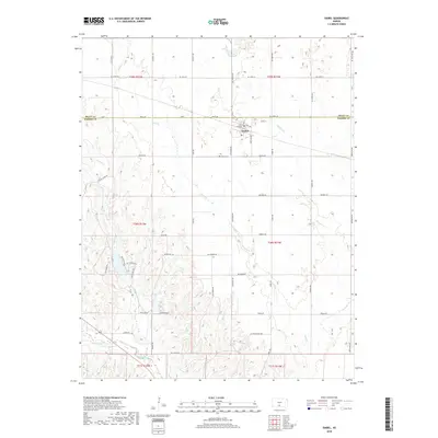
2018 Map of Isabel
USGS Topo · Published 2018About this map
The town of Isabel sits along the southern border of Pratt County and the northern edge of Barber County, serving as the central hub of this agricultural landscape. The local street grid includes Main St and Ethel Ave, with the Isabel Cem located just south of the main settlement. The terrain is defined by a dendritic drainage pattern where several creeks, including Sand Cr, Chicken Cr, and Threemile Cr, carve through the plains. To the south, Elm Creek and Amber Cr further detail the hydrology of the region. The map captures a transition from the formal township grids in the north, such as t29s r12w, to the more varied topography and winding rural routes like NW Tomahawk and Resort Rd in the south, illustrating the intersection of planned land division and natural watercourses.
Find a feature on this map
50 named features on this map. Tap any name to fly to it.
Don’t see what you’re looking for? This feature index may not catch every label — zoom into the map to look around manually.
Map Details
Editions of this 2018 Isabel Map
This is the sole edition of this map. No revisions or reprints were ever made.
Other maps of this area
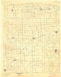
1889 · Anthony
USGS Topo · 1:125,000
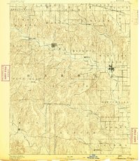
1891 · Medicine Lodge
USGS Topo · 1:125,000
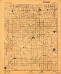
1891 · Anthony
USGS Topo · 1:125,000
1892 · Kingman
USGS Topo · 1:125,000
1892 · Pratt
USGS Topo · 1:125,000
1893 · Medicine Lodge
USGS Topo · 1:125,000
1894 · Kingman
USGS Topo · 1:125,000
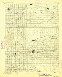
1894 · Pratt
USGS Topo · 1:125,000
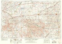
1955 · Pratt
USGS Topo · 1:250,000
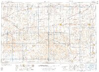
1959 · Pratt
USGS Topo · 1:250,000