
1952 Map of Ishpeming
USGS Topo · Published 1954About this map
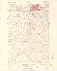
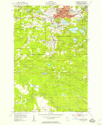
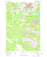
Ishpeming and the surrounding iron-rich highlands of Marquette County appear here during a period of intensive industrial activity in the early 1950s. The landscape is defined by its extraction history, with prominent mine dumps and active sites like the Tilden Mine and National Mine shaping the terrain south of the city. The residential fabric of the area is well-established, including neighborhoods like North Lake, West Ishpeming, and Frenchtown, while institutional landmarks such as the Cleveland Sch and the local Hospital serve the growing population.
Find a feature on this map
45 named features on this map. Tap any name to fly to it.
Don’t see what you’re looking for? This feature index may not catch every label — zoom into the map to look around manually.
Map Details
Editions of this 1952 Ishpeming Map
4 editions found
Other maps of this area

1952 · Ishpeming
USGS Topo · 1:62,500

1952 · Palmer
USGS Topo · 1:24,000

1953 · Negaunee
USGS Topo · 1:24,000

1954 · Negaunee SW
USGS Topo · 1:24,000

1954 · Negaunee
USGS Topo · 1:62,500

1955 · Diorite
USGS Topo · 1:24,000

1955 · Greenwood
USGS Topo · 1:24,000

1955 · Republic
USGS Topo · 1:62,500

1955 · Champion
USGS Topo · 1:62,500

1958 · Marquette
USGS Topo · 1:250,000