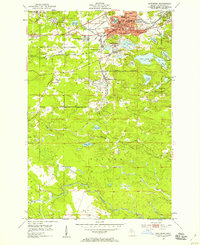
1952 Map of Ishpeming
USGS Topo · Published 1958About this map
Ishpeming and neighboring Negaunee sit at the heart of Michigan's iron-producing country in this early 1950s survey. The landscape is a complex industrial network where rail lines like the Chicago and North Western and the Duluth South Shore and Atlantic Railroad Grade connect diverse mining operations and residential pockets. Notable concentrations of activity appear at National Mine and the Tilden Mine, while the urban centers show the infrastructure of the era, including the Cleveland Sch and Lake Bancroft.
Find a feature on this map
46 named features on this map. Tap any name to fly to it.
Don’t see what you’re looking for? This feature index may not catch every label — zoom into the map to look around manually.
Map Details
Editions of this 1952 Ishpeming Map
4 editions found
Other maps of this area

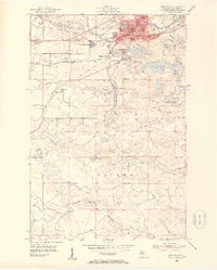
1952 · Ishpeming
USGS Topo · 1:62,500

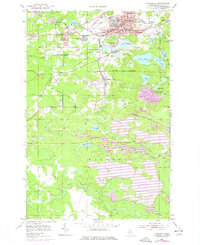
1952 · Ishpeming
USGS Topo · 1:24,000

1952 · Palmer
USGS Topo · 1:24,000

1953 · Negaunee
USGS Topo · 1:24,000

1954 · Negaunee SW
USGS Topo · 1:24,000

1954 · Negaunee
USGS Topo · 1:62,500

1955 · Diorite
USGS Topo · 1:24,000

1955 · Greenwood
USGS Topo · 1:24,000

1955 · Republic
USGS Topo · 1:62,500

1955 · Champion
USGS Topo · 1:62,500