
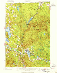
1953 Map of Island Pond
USGS Topo · Published 1954About this map
The Canadian National railway forms the industrial backbone of this northeast Vermont landscape, threading past Norton Pond and into the settlement of Island Pond. In the mid-1950s, the region was characterized by its timber-producing unorganized territories, including Warners Grant, Warrens Gore, and Avery S Gore. These rugged tracts are punctuated by prominent peaks like Bluff Mountain and Gore Mtn, which features a fire tower for forest surveillance.
Find a feature on this map
107 named features on this map. Tap any name to fly to it.
Don’t see what you’re looking for? This feature index may not catch every label — zoom into the map to look around manually.
Map Details
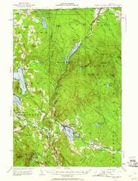
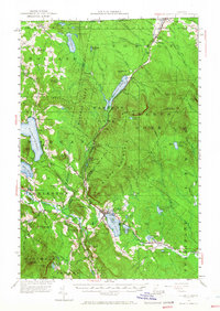
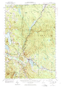
Editions of this 1953 Island Pond Map
5 editions found
Other maps of this area

1919 · Lake Memphremagog
USGS Topo · 1:62,500

1920 · Derby
USGS Topo · 1:62,500

1920 · Guildhall
USGS Topo · 1:62,500

1923 · Lake Memphremagog
USGS Topo · 1:48,000

1924 · Island Pond
USGS Topo · 1:48,000

1925 · Memphremagog
USGS Topo · 1:62,500

1926 · Island Pond
USGS Topo · 1:62,500

1929 · Averill
USGS Topo · 1:62,500

1931 · Guildhall
USGS Topo · 1:48,000

1933 · Guildhall
USGS Topo · 1:48,000