
1969 Map of Island View
USGS Topo · Published 1971About this map
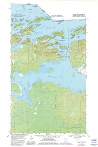
Island View sits at the heart of this Northwoods borderland, where the Ontario Minnesota boundary cuts through the expansive waters of Rainy Lake. This 1969 survey documents a landscape defined by an intricate archipelago of islands, including Little American Island and Big American Island, and the strategic high point at the Black Bay Lookout Tower. The map details the transition from the developed shoreline near the Island View Corporate Boundary to the more wilderness-oriented southern reaches around Black Bay and the winding course of the Root River. Winter mobility is central to the area's geography, evidenced by a network of Winter Trails that cross the interior wetlands. Resource extraction is noted by several Gravel Pits near the shore, supporting local infrastructure during this era of mid-century northern development.
Find a feature on this map
52 named features on this map. Tap any name to fly to it.
Don’t see what you’re looking for? This feature index may not catch every label — zoom into the map to look around manually.
Map Details
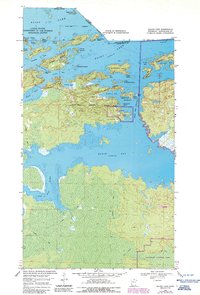
Editions of this 1969 Island View Map
4 editions found
Other maps of this area

1919 · International Falls
USGS Topo · 1:62,500

1954 · International Falls
USGS Topo · 1:250,000

1957 · International Falls
USGS Topo · 1:250,000

1958 · International Falls
USGS Topo · 1:250,000

1963 · Ranier
USGS Topo · 1:24,000

1969 · Ericsburg
USGS Topo · 1:24,000

1969 · Ray
USGS Topo · 1:24,000

1969 · Cranberry Bay
USGS Topo · 1:24,000

1969 · Ranier
USGS Topo · 1:24,000

1969 · Kabetogama
USGS Topo · 1:24,000