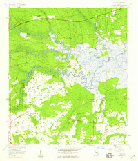
1958 Map of Italia
USGS Topo · Published 1959About this map
The Nassau River and Thomas Creek define the low-lying wetlands of the Florida-Georgia border region in the late 1950s. This survey illustrates a landscape dominated by extensive swamp systems, including Boggy Swamp, Tom Mann Swamp, and Bummer Swamp, which dictated the early patterns of settlement and transport. Small communities like Italia and Hero appear along the northern edge, connected by the Buccaneer Trail. The area is marked by numerous water-access points such as Joels Landing, West Landing, and Seaton Landing, reflecting a river-based economy and transit network.
Find a feature on this map
29 named features on this map. Tap any name to fly to it.
Don’t see what you’re looking for? This feature index may not catch every label — zoom into the map to look around manually.
Map Details
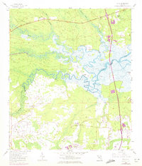
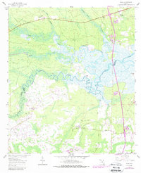
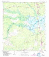
Editions of this 1958 Italia Map
4 editions found
Other maps of this area

1917 · Cambon
USGS Topo · 1:62,500

1917 · Hilliard
USGS Topo · 1:62,500

1918 · St Marys
USGS Topo · 1:62,500

1918 · Cambon
USGS Topo · 1:62,500

1918 · Jacksonville
USGS Topo · 1:62,500

1919 · St Marys
USGS Topo · 1:62,500

1919 · Hilliard
USGS Topo · 1:62,500

1948 · Jacksonville
USGS Topo · 1:250,000

1948 · Eastport
USGS Topo · 1:24,000

1950 · Trout River
USGS Topo · 1:24,000