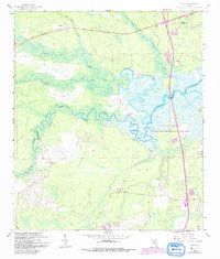
1958 Map of Italia
USGS Topo · Published 1992About this map
The Nassau River winds through a dense network of marshlands and tidal creeks along the border of Nassau and Duval counties. This 1958 landscape, updated with 1989 revisions, shows the transition from the secluded wetlands of the Timucuan National Ecological and Historic Preserve to the burgeoning infrastructure of north Florida. The small settlement of Italia sits near the northern boundary, while the massive footprint of the Jacksonville International Airport begins to dominate the southern section of the map.
Find a feature on this map
30 named features on this map. Tap any name to fly to it.
Don’t see what you’re looking for? This feature index may not catch every label — zoom into the map to look around manually.
Map Details
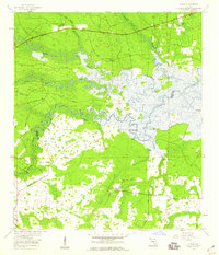
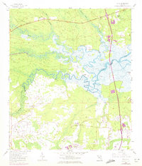
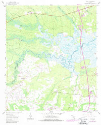
Editions of this 1958 Italia Map
4 editions found
Other maps of this area

1917 · Cambon
USGS Topo · 1:62,500

1917 · Hilliard
USGS Topo · 1:62,500

1918 · St Marys
USGS Topo · 1:62,500

1918 · Cambon
USGS Topo · 1:62,500

1918 · Jacksonville
USGS Topo · 1:62,500

1919 · St Marys
USGS Topo · 1:62,500

1919 · Hilliard
USGS Topo · 1:62,500

1948 · Jacksonville
USGS Topo · 1:250,000

1948 · Eastport
USGS Topo · 1:24,000

1950 · Trout River
USGS Topo · 1:24,000