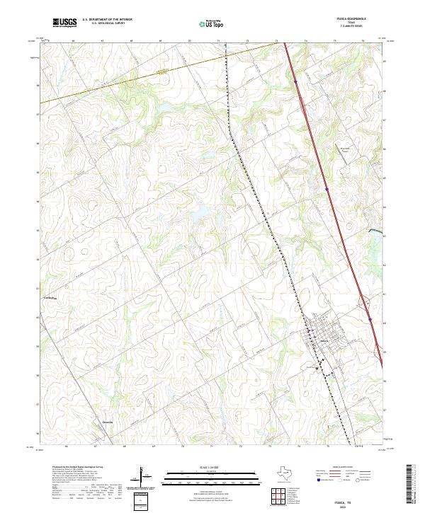
2022 Map of Itasca
USGS Topo · Published 2022About this map
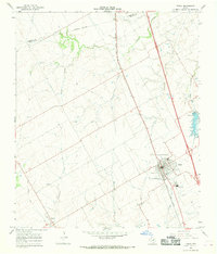
Itasca serves as the primary hub of this North Texas landscape, where a grid of rural routes and state highways converges in a settlement defined by its agricultural surroundings. The town's layout is centered near Itasca Cem, with residential and commercial streets extending toward the surrounding drainage basins of Cottonwood Cr and Itasca Cr. To the west, the smaller settlements of Covington and Osceola anchor the corners of the sheet, connected by a network of county roads like Co RD 4113 that traverse the watershed divide.
Find a feature on this map
78 named features on this map. Tap any name to fly to it.
Don’t see what you’re looking for? This feature index may not catch every label — zoom into the map to look around manually.
Map Details
Editions of this 2022 Itasca Map
This is the sole edition of this map. No revisions or reprints were ever made.
Other maps of this area

1891 · Cleburne
USGS Topo · 1:125,000

1894 · Cleburne
USGS Topo · 1:125,000

1927 · Blum
USGS Topo · 1:62,500

1954 · Dallas
USGS Topo · 1:250,000

1958 · Dallas
USGS Topo · 1:250,000

1960 · Cleburne East
USGS Topo · 1:24,000
1961 · Maypearl
USGS Topo · 1:24,000
1961 · Grandview
USGS Topo · 1:24,000
1965 · Files Valley
USGS Topo · 1:24,000
1965 · Itasca
USGS Topo · 1:24,000