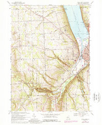
1969 Map of Ithaca West
USGS Topo · Published 1989About this map
The western edges of Ithaca and the steep southern shores of Cayuga Lake dominate this 1969 topographic record. The landscape is defined by dramatic vertical relief, where several watercourses carve deep glens into the plateau. Notable among these are the series of cascades within Robert H Treman State Park, including Lucifer Falls, and the iconic Buttermilk Falls State Park to the southeast. These natural features shaped the early settlement patterns, forcing transport networks like the Catskill Turnpike and the Conrail lines to navigate the complex topography of the Cayuga Inlet valley.
Find a feature on this map
68 named features on this map. Tap any name to fly to it.
Don’t see what you’re looking for? This feature index may not catch every label — zoom into the map to look around manually.
Map Details
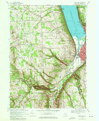
Editions of this 1969 Ithaca West Map
2 editions found
Other maps of this area

1893 · Ithaca
USGS Topo · 1:62,500

1895 · Ithaca
USGS Topo · 1:62,500

1898 · Moravia
USGS Topo · 1:62,500

1900 · Dryden
USGS Topo · 1:62,500

1902 · Moravia
USGS Topo · 1:62,500

1902 · Genoa
USGS Topo · 1:62,500

1905 · Watkins Glen
USGS Topo · 1:125,000

1906 · Catatonk
USGS Topo · 1:125,000

1942 · Ludlowville
USGS Topo · 1:24,000

1942 · Trumansburg
USGS Topo · 1:24,000