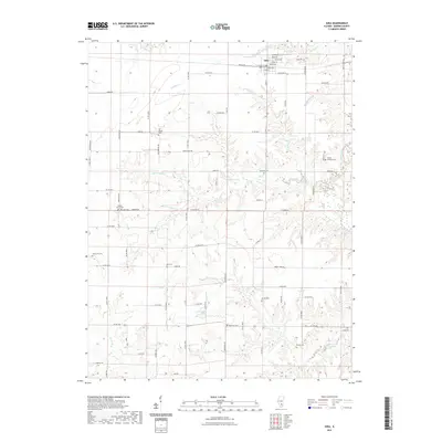
2021 Map of Iuka
USGS Topo · Published 2021About this map
Iuka stands as the primary settlement on this Marion County landscape, its grid defined by streets such as Enterprise St and Middleton St. The surrounding countryside is remarkably dense with rural burial sites and small congregations, reflecting generations of local family history. Genealogists will find numerous family-named and community landmarks, including Old Bethel Ch and its namesake Old Bethel Cem, as well as the Trinity Lutheran Ch and Trinity Lutheran Cem.
Find a feature on this map
60 named features on this map. Tap any name to fly to it.
Don’t see what you’re looking for? This feature index may not catch every label — zoom into the map to look around manually.
Map Details
Editions of this 2021 Iuka Map
This is the sole edition of this map. No revisions or reprints were ever made.
Other maps of this area

1933 · Mount Vernon
USGS Topo · 1:48,000

1934 · Salem
USGS Topo · 1:62,500

1938 · Salem
USGS Topo · 1:62,500

1940 · Mount Vernon
USGS Topo · 1:62,500

1947 · Wayne City
USGS Topo · 1:62,500

1952 · Xenia
USGS Topo · 1:62,500

1958 · Belleville
USGS Topo · 1:250,000

1962 · Belleville
USGS Topo · 1:250,000

1965 · Iuka
USGS Topo · 1:24,000
1965 · Salem South
USGS Topo · 1:24,000