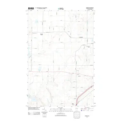
2013 Map of Iverson
USGS Topo · Published 2013About this map
Iverson serves as a central hub in this section of Carlton County, situated along the corridor formed by MN-210. The landscape is defined by its complex hydrography, where the Moose Horn River and Little Otter Cr flow through a terrain dotted with significant bodies of water like Big Lake and Wild Rice Lake. This area reflects a mix of small-town settlement and infrastructure, evidenced by the Iverson PO and the Cloquet/Carlton County Airport on the eastern edge.
Find a feature on this map
63 named features on this map. Tap any name to fly to it.
Don’t see what you’re looking for? This feature index may not catch every label — zoom into the map to look around manually.
Map Details
Editions of this 2013 Iverson Map
This is the sole edition of this map. No revisions or reprints were ever made.
Other maps of this area
1953 · Saginaw
USGS Topo · 1:24,000
1953 · Brookston
USGS Topo · 1:24,000

1953 · Duluth
USGS Topo · 1:250,000
1954 · Cloquet
USGS Topo · 1:24,000
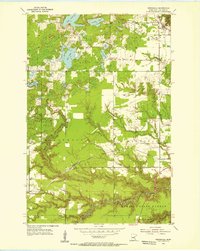
1954 · Wrenshall
USGS Topo · 1:24,000
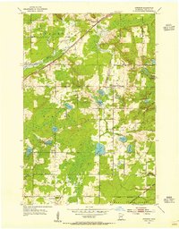
1954 · Atkinson
USGS Topo · 1:24,000
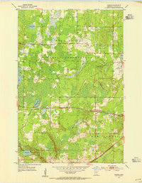
1954 · Iverson
USGS Topo · 1:24,000
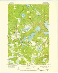
1954 · Sawyer
USGS Topo · 1:24,000
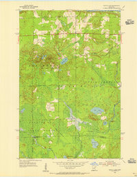
1954 · Martin Lake
USGS Topo · 1:24,000
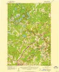
1956 · Barnum
USGS Topo · 1:62,500