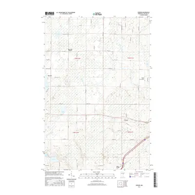
2016 Map of Iverson
USGS Topo · Published 2016About this map
Iverson and the surrounding Carlton County wetlands are defined by a complex network of waterways, including the Moose Horn River and the meandering Little Otter Cr. This mid-2010s survey shows a landscape where small settlements like Big Lake and Otter Creek are situated amidst a dense collection of glacial lakes and marshlands. The presence of the Big Lake Chapel and the Cloquet Carlton County Airport illustrates the mix of long-standing local community nodes and regional infrastructure.
Find a feature on this map
67 named features on this map. Tap any name to fly to it.
Don’t see what you’re looking for? This feature index may not catch every label — zoom into the map to look around manually.
Map Details
Editions of this 2016 Iverson Map
This is the sole edition of this map. No revisions or reprints were ever made.
Other maps of this area
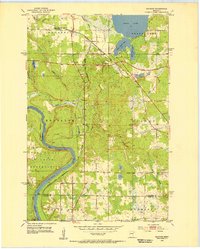
1953 · Saginaw
USGS Topo · 1:24,000
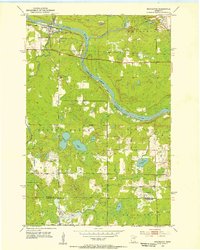
1953 · Brookston
USGS Topo · 1:24,000

1953 · Duluth
USGS Topo · 1:250,000
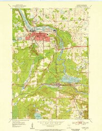
1954 · Cloquet
USGS Topo · 1:24,000
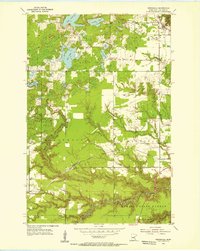
1954 · Wrenshall
USGS Topo · 1:24,000
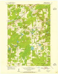
1954 · Atkinson
USGS Topo · 1:24,000
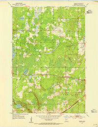
1954 · Iverson
USGS Topo · 1:24,000
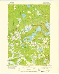
1954 · Sawyer
USGS Topo · 1:24,000
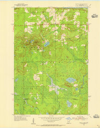
1954 · Martin Lake
USGS Topo · 1:24,000
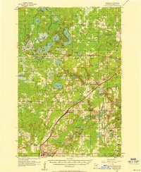
1956 · Barnum
USGS Topo · 1:62,500