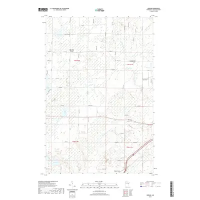
2019 Map of Iverson
USGS Topo · Published 2019About this map
Cloquet and the smaller settlement of Iverson anchor this survey of the northern Minnesota wetlands and forests near the turn of the twenty-first century. The landscape is defined by an intricate network of water, from the winding path of the Moose Horn River in the south to the broad waters of Wild Rice Lake and Big Lake. Local community life is centered around landmarks like the Big Lake Chapel and the Cloquet Carlton County Airport, while the northern portion of the quadrangle is crisscrossed by namesake rural routes such as Lund Rd, Jarvi Rd, and Danielson Rd, reflecting the regional homesteading and logging heritage. Significant tributaries like Otter Cr and Little Otter Cr drain through the lowlands, creating a complex hydrology that has historically dictated the placement of roads and small-scale infrastructure across Carlton County.
Find a feature on this map
69 named features on this map. Tap any name to fly to it.
Don’t see what you’re looking for? This feature index may not catch every label — zoom into the map to look around manually.
Map Details
Editions of this 2019 Iverson Map
This is the sole edition of this map. No revisions or reprints were ever made.
Other maps of this area
1953 · Saginaw
USGS Topo · 1:24,000
1953 · Brookston
USGS Topo · 1:24,000

1953 · Duluth
USGS Topo · 1:250,000
1954 · Cloquet
USGS Topo · 1:24,000
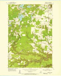
1954 · Wrenshall
USGS Topo · 1:24,000
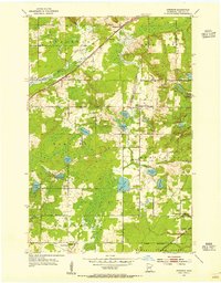
1954 · Atkinson
USGS Topo · 1:24,000
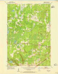
1954 · Iverson
USGS Topo · 1:24,000
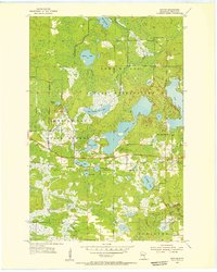
1954 · Sawyer
USGS Topo · 1:24,000
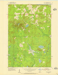
1954 · Martin Lake
USGS Topo · 1:24,000
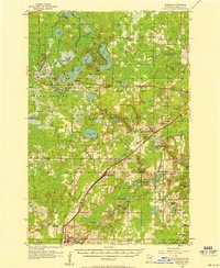
1956 · Barnum
USGS Topo · 1:62,500