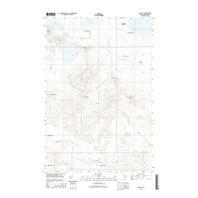
2014 Map of Ives Hill
USGS Topo · Published 2014About this map
The Huron Mountains dominate this Upper Peninsula landscape, where high peaks like Ives Hill and Mt Ives overlook a complex network of glacial lakes and river systems. The Salmon Trout River winds through the center of the sheet, punctuated by several cascades including Eighty Foot Falls, Upper Falls, and Middle Falls. This 2014 survey documents a territory defined by its water resources, from the shoreline of Lake Superior at Salmon Trout Bay to the secluded Ives Lake and Conway Lake.
Find a feature on this map
49 named features on this map. Tap any name to fly to it.
Don’t see what you’re looking for? This feature index may not catch every label — zoom into the map to look around manually.
Map Details
Editions of this 2014 Ives Hill Map
This is the sole edition of this map. No revisions or reprints were ever made.
Other maps of this area

1954 · Negaunee
USGS Topo · 1:62,500

1954 · Huron Mountain
USGS Topo · 1:62,500

1954 · Big Bay
USGS Topo · 1:62,500

1955 · Champion
USGS Topo · 1:62,500

1958 · Marquette
USGS Topo · 1:250,000

1960 · Marquette
USGS Topo · 1:250,000

1961 · Marquette
USGS Topo · 1:250,000

1968 · Marquette
USGS Topo · 1:250,000
1984 · Ives Hill
USGS Topo · 1:24,000
1984 · Howe Lake
USGS Topo · 1:24,000