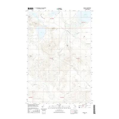
2017 Map of Ives Hill
USGS Topo · Published 2017About this map
Ives Lake and its surrounding peaks dominate this landscape in the northern reaches of the Huron Mountains. The terrain is characterized by dramatic elevations and complex water systems, including the River Styx and several cascading features such as Eighty Foot Falls, Hogback Falls, and Middle Falls. The map reveals a private or controlled access character through the presence of the Huron Mountain Club Rd, which winds past high points like Mt Ives and Ives Hill. To the north, the elevation drops toward the Lake Superior shoreline at Salmon Trout Bay, where the Salmon Trout River completes its descent through the Darby Bend. This area has long been a destination for specialized recreational camps and conservation, evidenced by the named ponds and lakes like Dutch Johns Pond and Conway Lake that fill the glacial depressions between the granite knobs.
Find a feature on this map
49 named features on this map. Tap any name to fly to it.
Don’t see what you’re looking for? This feature index may not catch every label — zoom into the map to look around manually.
Map Details
Editions of this 2017 Ives Hill Map
This is the sole edition of this map. No revisions or reprints were ever made.
Other maps of this area

1954 · Negaunee
USGS Topo · 1:62,500

1954 · Huron Mountain
USGS Topo · 1:62,500

1954 · Big Bay
USGS Topo · 1:62,500

1955 · Champion
USGS Topo · 1:62,500

1958 · Marquette
USGS Topo · 1:250,000

1960 · Marquette
USGS Topo · 1:250,000

1961 · Marquette
USGS Topo · 1:250,000

1968 · Marquette
USGS Topo · 1:250,000
1984 · Ives Hill
USGS Topo · 1:24,000
1984 · Howe Lake
USGS Topo · 1:24,000