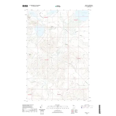
2019 Map of Ives Hill
USGS Topo · Published 2019About this map
The Huron Mountains dominate this northern Michigan landscape, where the waters of Lake Superior meet the shore at Salmon Trout Bay. This remote section of the Upper Peninsula is defined by a series of significant inland water bodies, most notably Ives Lake and Conway Lake, which are connected by a network of drainage systems including Conway Creek and Fisher Cr. The terrain is remarkably varied, featuring named peaks such as Mummy Mtn, Mt Ives, and the central Ives Hill.
Find a feature on this map
48 named features on this map. Tap any name to fly to it.
Don’t see what you’re looking for? This feature index may not catch every label — zoom into the map to look around manually.
Map Details
Editions of this 2019 Ives Hill Map
This is the sole edition of this map. No revisions or reprints were ever made.
Other maps of this area

1954 · Negaunee
USGS Topo · 1:62,500

1954 · Huron Mountain
USGS Topo · 1:62,500

1954 · Big Bay
USGS Topo · 1:62,500

1955 · Champion
USGS Topo · 1:62,500

1958 · Marquette
USGS Topo · 1:250,000

1960 · Marquette
USGS Topo · 1:250,000

1961 · Marquette
USGS Topo · 1:250,000

1968 · Marquette
USGS Topo · 1:250,000
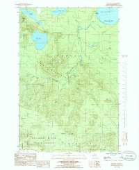
1984 · Ives Hill
USGS Topo · 1:24,000
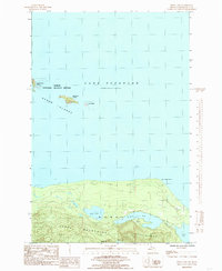
1984 · Howe Lake
USGS Topo · 1:24,000