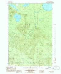
1984 Map of Ives Hill
USGS Topo · Published 1985About this map
Ives Lake and the high ridges of the Huron Mountains define this mid-1980s topographic portrait of northern Marquette County. The landscape is a complex network of glacial lakes and dramatic vertical drops, notably along the Salmon Trout River where Upper Falls, Middle Falls, and Lower Falls mark the river's descent toward Lake Superior. Human presence is sparse and concentrated at Gillet Landing and Dodge City, while large tracts are managed within the Champion State Forest. The map documents a rugged wilderness character where terrain features carry evocative local names like Breakfast Roll and Mummy Mountain. Researchers can trace the drainage patterns from the Escanaba River headwaters in the south to the Salmon Trout Bay coastline, revealing a geography dominated by water and wood.
Find a feature on this map
41 named features on this map. Tap any name to fly to it.
Don’t see what you’re looking for? This feature index may not catch every label — zoom into the map to look around manually.
Map Details
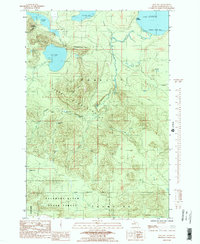
Editions of this 1984 Ives Hill Map
2 editions found
Other maps of this area

1954 · Negaunee
USGS Topo · 1:62,500

1954 · Huron Mountain
USGS Topo · 1:62,500

1954 · Big Bay
USGS Topo · 1:62,500

1955 · Champion
USGS Topo · 1:62,500

1958 · Marquette
USGS Topo · 1:250,000

1960 · Marquette
USGS Topo · 1:250,000

1961 · Marquette
USGS Topo · 1:250,000

1968 · Marquette
USGS Topo · 1:250,000
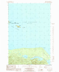
1984 · Howe Lake
USGS Topo · 1:24,000
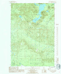
1985 · Mountain Lake
USGS Topo · 1:24,000
Featured Places
- Powell Township, MI
- Michigamme Township, MI
- Champion Township, MI
- Dodge City, Powell Township
- Gillet Landing, Powell Township