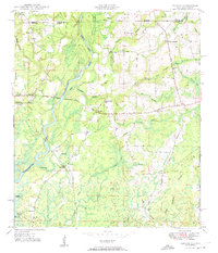
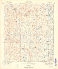
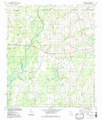
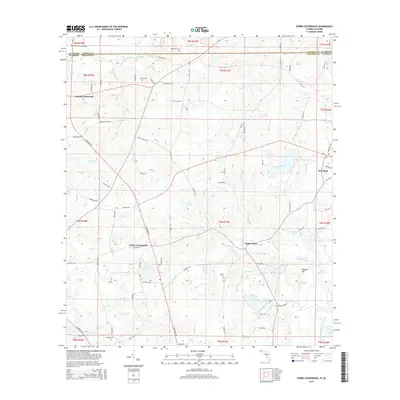
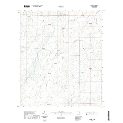
1950 Map of Izagora
USGS Topo · Published 1974About this map
The Choctawhatchee River and its backwater lakes dominate this landscape along the Alabama-Florida line, where the Alberson Stretch of the river defines the local geography. Small rural settlements like Izagora and Pittman are connected by a network of local routes, including Hominy Road, which was being expanded during the late 1940s. Genealogists will find a wealth of community landmarks, from the Curry Cem near the riverbanks to numerous country churches like New Zion Ch, Cedar Grove Ch, and Spring Hill Ch. The presence of the Curry Ferry and the Ginhouse Branch points to the early agricultural and river-based economy of Holmes County. The eastern portion of the map is particularly dense with small watercourses like East Pittman Creek and Little Creek, reflecting the intricate drainage system feeding into the main river valley.
Find a feature on this map
42 named features on this map. Tap any name to fly to it.
Don’t see what you’re looking for? This feature index may not catch every label — zoom into the map to look around manually.
Map Details
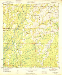
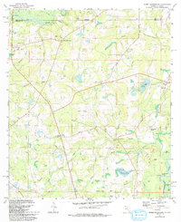
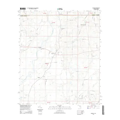
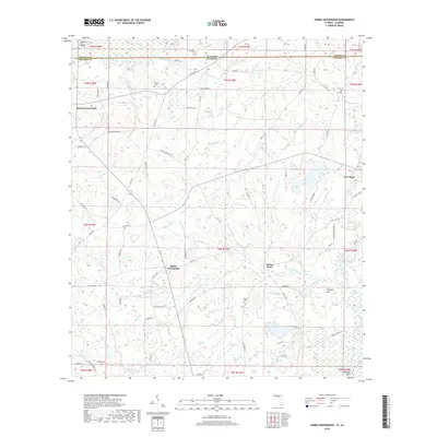
Editions of this 1950 Izagora Map
2 editions found
Historical Maps of Black Through Time
23 maps found
1949 Hobbs Crossroads
Holmes County, FL
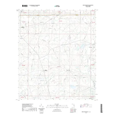
1950 Hobbs Cross Roads
Holmes County, FL
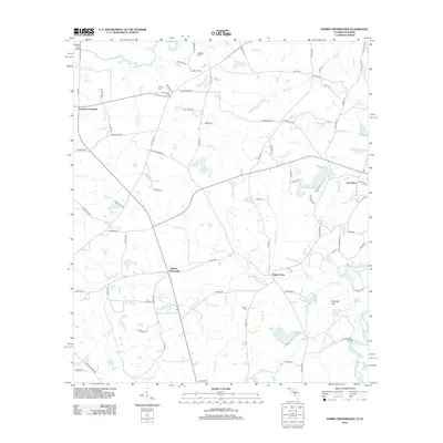
1950 Izagora
Holmes County, FL
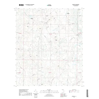
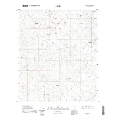
1950 Prosperity
Holmes County, FL
1982 Hobbs Crossroads
Holmes County, FL
1982 Izagora
Holmes County, FL
1982 Prosperity
Holmes County, FL
1994 Izagora
Holmes County, FL
2012 Hobbs Crossroads
Holmes County, FL
2012 Izagora
Holmes County, FL
2012 Prosperity
Holmes County, FL
2015 Hobbs Crossroads
Holmes County, FL
2015 Izagora
Holmes County, FL

2015 Prosperity
Holmes County, FL
2018 Hobbs Crossroads
Holmes County, FL
2018 Izagora
Holmes County, FL
2018 Prosperity
Holmes County, FL
2021 Hobbs Crossroads
Holmes County, FL
2021 Izagora
Holmes County, FL
2021 Prosperity
Holmes County, FL
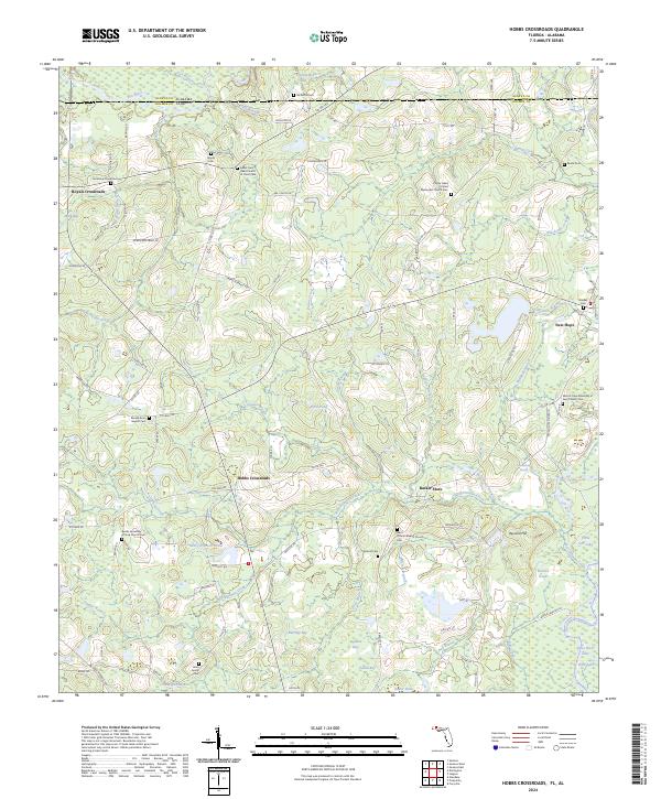
2024 Hobbs Crossroads
Holmes County, FL
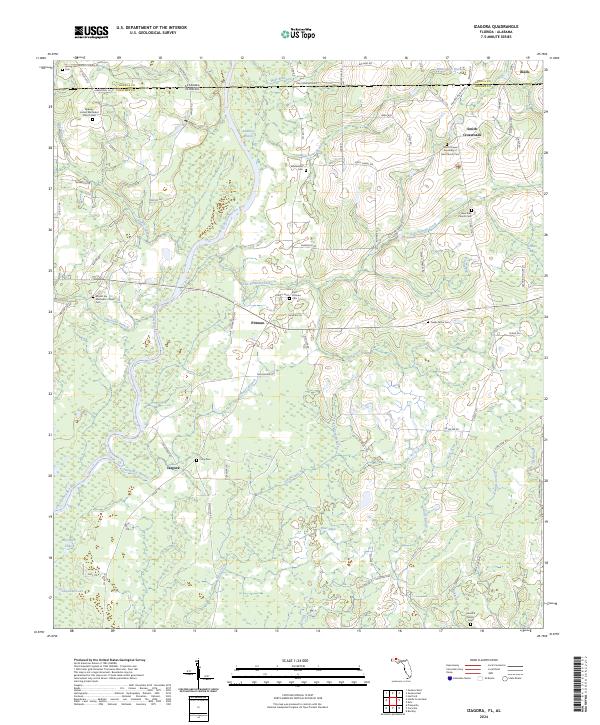
2024 Izagora
Holmes County, FL
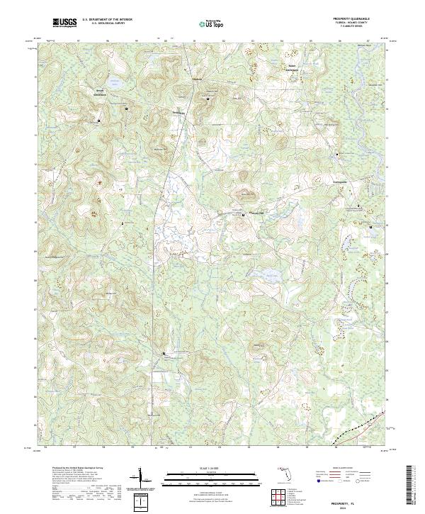
2024 Prosperity
Holmes County, FL