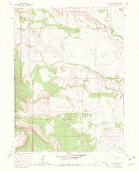
1966 Map of Jack Springs
USGS Topo · Published 1980About this map
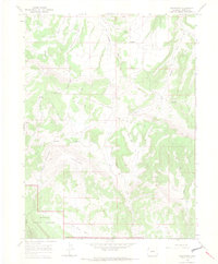
Dinosaur National Monument defines the western edge of this landscape, where the high elevations of Douglas Mountain overlook a complex network of draws and springs. The map documents a sparsely settled portion of Moffat County in the mid-1960s, a place where human activity is marked by isolated landmarks like the Warrick Ranch and Basset Cabin. Water is the critical factor in this arid terrain, as evidenced by the numerous mapped water sources including Dripping Rock Spring, Strong Spring, and the perennial flow of Vermillion Creek which features localized Falls.
Find a feature on this map
17 named features on this map. Tap any name to fly to it.
Don’t see what you’re looking for? This feature index may not catch every label — zoom into the map to look around manually.
Map Details
Editions of this 1966 Jack Springs Map
4 editions found
Other maps of this area

1954 · Lodore School
USGS Topo · 1:24,000

1954 · Canyon of Lodore South
USGS Topo · 1:24,000

1954 · Canyon of Lodore North
USGS Topo · 1:24,000

1954 · Vernal
USGS Topo · 1:250,000

1958 · Vernal
USGS Topo · 1:250,000

1960 · Vernal
USGS Topo · 1:250,000

1966 · Big Joe Basin
USGS Topo · 1:24,000

1966 · Irish Canyon
USGS Topo · 1:24,000
1966 · Greystone
USGS Topo · 1:24,000
1966 · Zenobia Peak
USGS Topo · 1:24,000