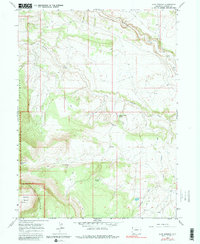
1966 Map of Jack Springs
USGS Topo · Published 1980About this map
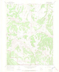
Dinosaur National Monument defines the western edge of this Northwestern Colorado landscape, where the high elevation of Douglas Mountain drops toward the basin floors. The map reveals a remote ranching and grazing environment marked by numerous water sources essential for survival in this arid terrain, including Jack Springs, Strong Spring, and Dripping Rock Spring. Evidence of early settlement and land use appears at the Warrick Ranch and Basset Cabin, while a lone Grave stands as a quiet marker of the area's human history. The drainage network is dominated by Vermillion Creek and a series of deep cuts such as Conway Draw and Rye Grass Draw. This 1966 survey, later photoinspected in the early 1970s, documents the existing Jeep trails that provided the primary access through the Zenobia Basin and surrounding highlands before modern development.
Find a feature on this map
18 named features on this map. Tap any name to fly to it.
Don’t see what you’re looking for? This feature index may not catch every label — zoom into the map to look around manually.
Map Details
Editions of this 1966 Jack Springs Map
4 editions found
Other maps of this area

1954 · Lodore School
USGS Topo · 1:24,000

1954 · Canyon of Lodore South
USGS Topo · 1:24,000

1954 · Canyon of Lodore North
USGS Topo · 1:24,000

1954 · Vernal
USGS Topo · 1:250,000

1958 · Vernal
USGS Topo · 1:250,000

1960 · Vernal
USGS Topo · 1:250,000

1966 · Big Joe Basin
USGS Topo · 1:24,000

1966 · Irish Canyon
USGS Topo · 1:24,000
1966 · Greystone
USGS Topo · 1:24,000
1966 · Zenobia Peak
USGS Topo · 1:24,000