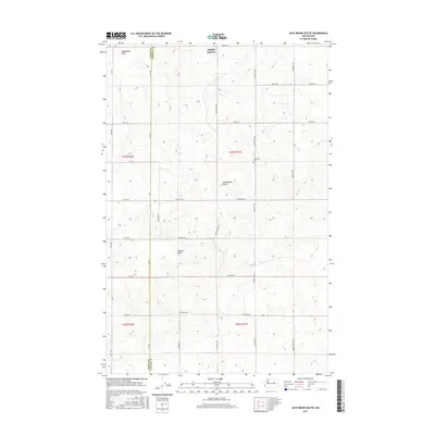
2017 Map of Jack Woods Butte
USGS Topo · Published 2017About this map
Jack Woods Butte rises as the central topographic landmark on this Lincoln County landscape, defining the high ground between the agricultural stretches of the Columbia Plateau. The land is marked by a complex system of drainage draws, including Klobuschar Draw to the north and the expansive Childers Draw and Devils Cr to the south. These features reveal the natural hydrologic patterns that have shaped the region's ranching and farming history. Local heritage is centered near the Lafollette Cem and the small settlement at Bagdad Junction, points that served as community hubs for the surrounding homesteads. The map illustrates a strictly organized grid of rural roads like Lafollette Rd and Douglas Rd E, following the Public Land Survey System boundaries that divide the terrain into distinct townships and ranges along the Grant and Lincoln county line.
Find a feature on this map
33 named features on this map. Tap any name to fly to it.
Don’t see what you’re looking for? This feature index may not catch every label — zoom into the map to look around manually.
Map Details
Editions of this 2017 Jack Woods Butte Map
This is the sole edition of this map. No revisions or reprints were ever made.
Other maps of this area

1948 · Grand Coulee Dam
USGS Topo · 1:62,500

1950 · Grand Coulee Dam
USGS Topo · 1:62,500

1953 · Ritzville
USGS Topo · 1:250,000

1959 · Ritzville
USGS Topo · 1:250,000

1965 · Ritzville
USGS Topo · 1:250,000

1968 · Hartline
USGS Topo · 1:24,000

1968 · Steamboat Rock SE
USGS Topo · 1:24,000
1968 · Electric City
USGS Topo · 1:24,000

1969 · Almira
USGS Topo · 1:24,000

1969 · Govan
USGS Topo · 1:24,000