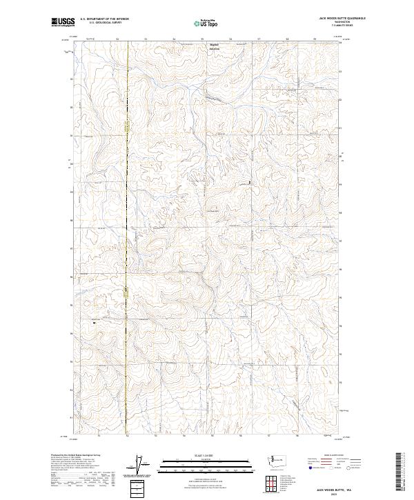
2023 Map of Jack Woods Butte
USGS Topo · Published 2023About this map
The boundary between Grant and Lincoln Counties runs through this section of the Washington plateau, where the landscape is defined by deep draws and isolated topographic rises. The namesake Jack Woods Butte stands as a central landmark, overlooking a network of section-line roads and drainage features like Klobuschar Draw and Devils Creek. To the north, Bagdad Junction marks a intersection of local travel ways including Old Coulee Rd and Bagdad Rd.
Find a feature on this map
34 named features on this map. Tap any name to fly to it.
Don’t see what you’re looking for? This feature index may not catch every label — zoom into the map to look around manually.
Map Details
Editions of this 2023 Jack Woods Butte Map
This is the sole edition of this map. No revisions or reprints were ever made.
Other maps of this area

1948 · Grand Coulee Dam
USGS Topo · 1:62,500

1950 · Grand Coulee Dam
USGS Topo · 1:62,500

1953 · Ritzville
USGS Topo · 1:250,000

1959 · Ritzville
USGS Topo · 1:250,000

1965 · Ritzville
USGS Topo · 1:250,000

1968 · Hartline
USGS Topo · 1:24,000

1968 · Steamboat Rock SE
USGS Topo · 1:24,000
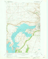
1968 · Electric City
USGS Topo · 1:24,000

1969 · Almira
USGS Topo · 1:24,000

1969 · Govan
USGS Topo · 1:24,000