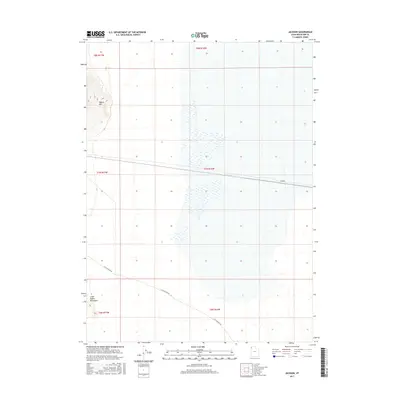
2017 Map of Jackson
USGS Topo · Published 2017About this map
Jackson sits within a sparse desert landscape in Box Elder County, positioned near the crossroads of the Great Salt Lake Desert's northern reaches. This 2017 survey illustrates a region defined by isolation and specific terrain markers like Pigeon Mtn and the southern slopes of the Little Pigeon Mountains. A single primary corridor, Little Pigeon Rd, provides the only significant terrestrial access through these township boundaries, which include parts of T8N R17W and T7N R16W. The map captures the vast salt flats and seasonal wetlands that dominate this basin, showing how human settlement in the area remains tethered to the few passable routes and higher ground offered by the surrounding peaks.
Find a feature on this map
10 named features on this map. Tap any name to fly to it.
Don’t see what you’re looking for? This feature index may not catch every label — zoom into the map to look around manually.
Map Details
Editions of this 2017 Jackson Map
This is the sole edition of this map. No revisions or reprints were ever made.
Other maps of this area

1954 · Brigham City
USGS Topo · 1:250,000

1958 · Brigham City
USGS Topo · 1:250,000

1962 · Brigham City
USGS Topo · 1:250,000

1967 · Pigeon Mountain
USGS Topo · 1:24,000

1967 · Lucin NE
USGS Topo · 1:24,000

1967 · Lemay Island
USGS Topo · 1:24,000

1983 · Jackson
USGS Topo · 1:24,000

1983 · Bovine SE
USGS Topo · 1:24,000

1983 · Terrace Mountain West
USGS Topo · 1:24,000

1983 · Lucin 4 NE
USGS Topo · 1:24,000